


Qatar National Library
The National Collection of Aerial Photography has been working with the Qatar National Library to digitise tens of thousands of aerial photographic images covering Qatar held by NCAP, to transform access to this unique imagery.
The Qatar National Library
Qatar National Library serves as the custodian of Qatar’s documentary heritage, committed to collecting, preserving, and providing access to the nation’s recorded history and cultural memory. Through its distinguished heritage collection, services and programs, QNL promotes deeper understanding of Qatar, the Gulf region’s history and culture and the broader Arab world. The Library ensures equitable access to knowledge, information and lifelong learning opportunities for all residents, fostering creativity, informed decision-making, and cultural enrichment. Through these interconnected roles, QNL plays a pivotal role in shaping Qatar’s cultural and knowledge landscape.
The establishment of the Library was announced on 19 November 2012 by Her Highness Sheikha Moza bint Nasser, Chairperson of Qatar Foundation. QNL was officially designated as the national library under Amiri Decree No. 11 on 20 March 2018. It was formally inaugurated by His Highness Sheikh Tamim Bin Hamad Al Thani, the Amir of Qatar, on 16 April 2018.
Aerial Photography Project
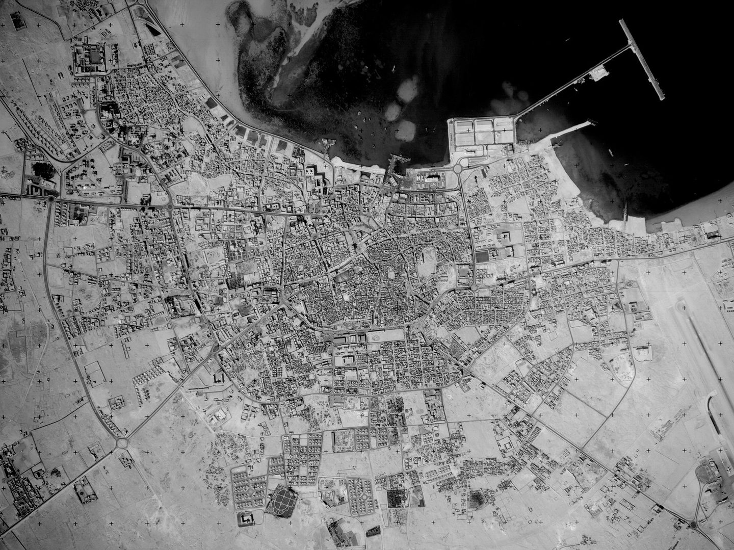
The National Collection of Aerial Photography holds tens of thousands of aerial images covering Qatar. Created for intelligence purposes by the Royal Air Force between the 1940s and 1970s, the United States Army Air Force in the 1940s, the United States Navy in the 1950s and by commercial air survey companies in the 1970s and 1980s, they provide decades of repeat coverage of the country. This coverage starts in the 1940s, shortly after the first oil wells in Qatar struck oil and continues through Qatari independence in 1971, with the latest imagery dating from the 1980s.
In 2022 an agreement was reached between NCAP and the QNL that progressively transformed access to this historical aerial imagery of the State of Qatar and the wider Arabian Gulf. Thanks to this collaboration, c.39,000 images of locations around Qatar have been preserved, rehoused, digitised and these are being made accessible online for the first time via our online platform. These images will provide a valuable resource for a wide range of interests and research in Qatar, from archaeological surveys to tracking the impacts of climate change.
IN THIS SECTION

Arcadia
Thanks to generous funding from Arcadia, NCAP will transform access to over 100,000 aerial photographs of the Middle East and North Africa.

Directorate of Overseas Surveys Partnership
Working with Stockholm University and the University of California (Berkeley), this partnership delivered a pioneering digitisation programme.

Edinburgh International Data Facility
Our research collaboration with the EIDF facilitates access to high-performance computing infrastructure, enabling the development of advanced algorithms and creation of analytics-ready datasets.

Irish Defence Forces
NCAP has been working with the Irish Defence Forces to digitise tens of thousands of aerial photographic images and associated records held by the Irish Military Archives.

The Medmenham Collection
With significant elements of the NCAP collection originating from RAF Medmenham, our relationship with the Medmenham Collection remains a valuable one.

National Archives and Records Administration
In 2016, NCAP began a partnership with NARA to copy its extensive holdings of aerial photography, with a particular focus on images from the Second World War.

National Library and Archives of the United Arab Emirates
NCAP has been working with the National Library and Archives of the United Arab Emirates (UAE) to digitise tens of thousands of aerial photographic images of the UAE.

Royal Commission on the Ancient and Historical Monuments of Wales
NCAP has been working with the Royal Commission on the Ancient and Historical Monuments of Wales to digitise tens of thousands of aerial photographic images held in The National Monuments Record of Wales.