News & Articles
Find out about the latest news from NCAP and discover in-depth stories about NCAP collections, activities and projects.
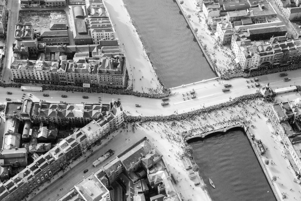
Image Release Note 0038: Irish Military Archives Upload
This release contains aerial reconnaissance imagery produced by the Irish Defence Forces from the 1940s to the 1970s, digitised and published in collaboration with the Irish Military Archives.
Read more
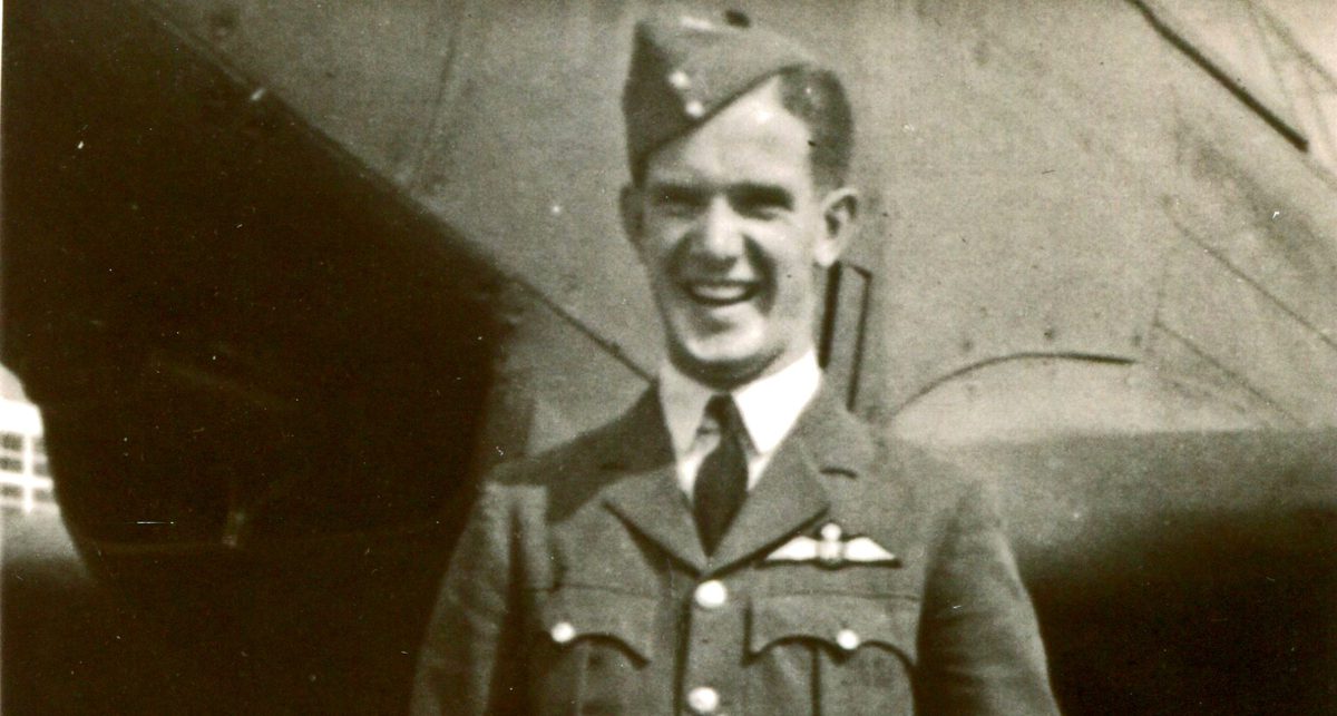
Spitfire Overdue: F/O Mervyn Wheatley and Spitfire PR IB N3069
On 22 March 1940, an unarmed Photographic Reconnaissance pilot paid the ultimate sacrifice over the Netherlands when their specially modified RAF Spitfire was shot down. The legacy of the aircraft and its pilot endures through photographs held at the National Collection of Aerial Photography, and the passionate work of curator and historian Sander Woonings.
Read more
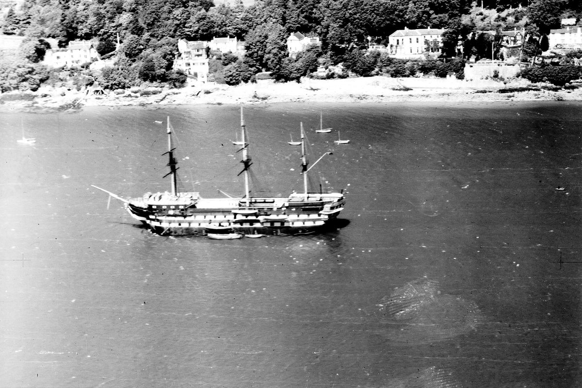
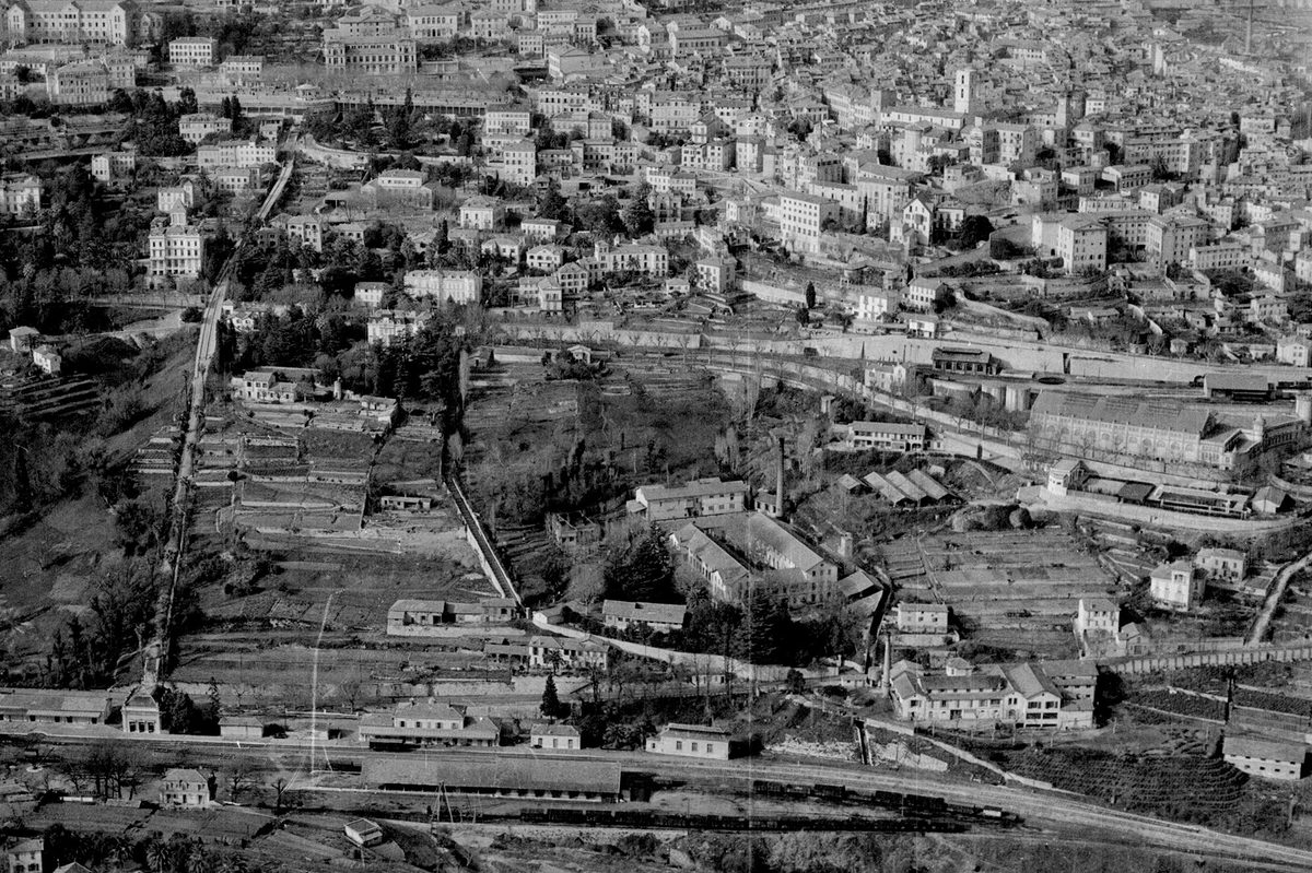
Image Release Note 0037: RCAHMW & NCAP Upload
This release contains aerial reconnaissance imagery produced by the Royal Commission on the Ancient and Historical Monuments of Wales from 1945-1999, digitised and published in collaboration with The Commission, as...
Read more
What is a Cold War Object?
At the end of May, Rachel Nordstrom (Operations Manager) and Ben Reiss (Collections Manager) represented the National Collection of Aerial Photography at the What is a Cold War Object? symposium...
Read more
Celebrating our Volunteers’ Invaluable Contributions!
This Volunteers’ Week, we are highlighting the fantastic contribution our volunteers make to the National Collection of Aerial Photography’s mission to preserve and make accessible the 30 million aerial photographic...
Read more
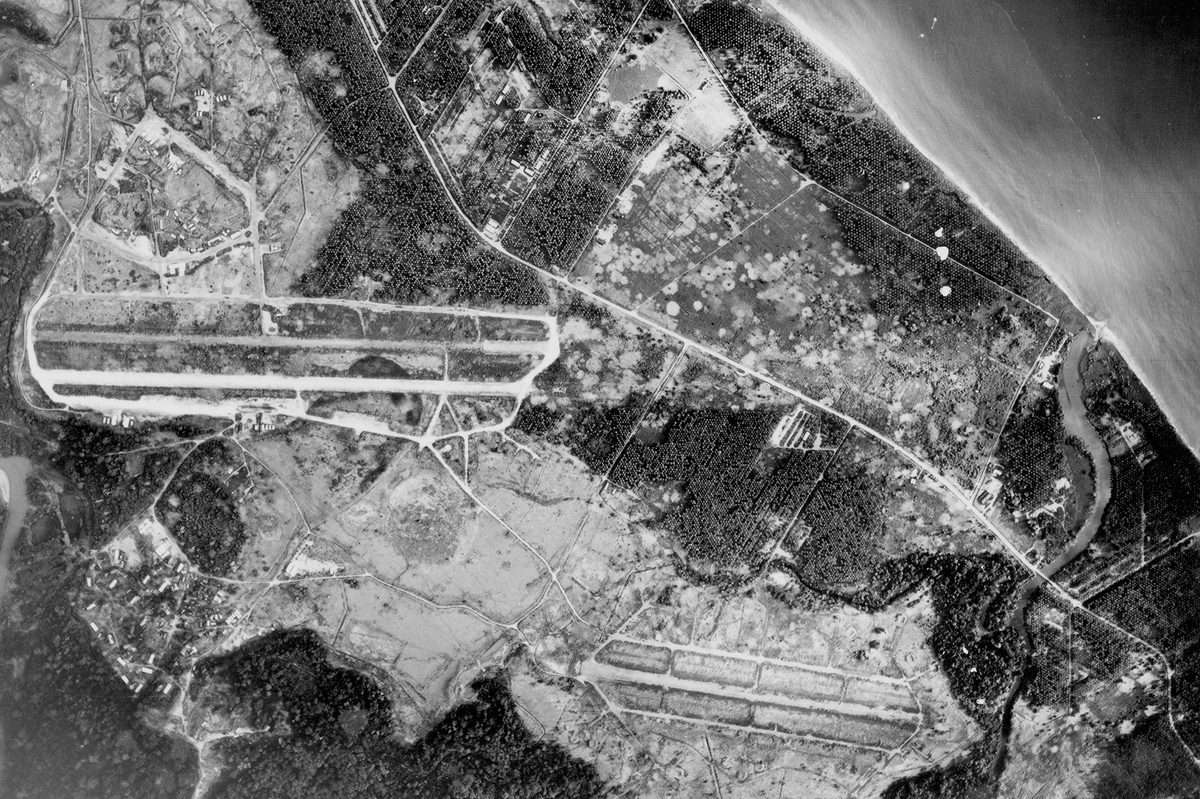
Image Release Note 0036: NCAP Upload
This release highlights imagery from the DOS collection, with a focus on the Solomon Islands, as well as coverage of Europe from the JARIC collection.
Read more
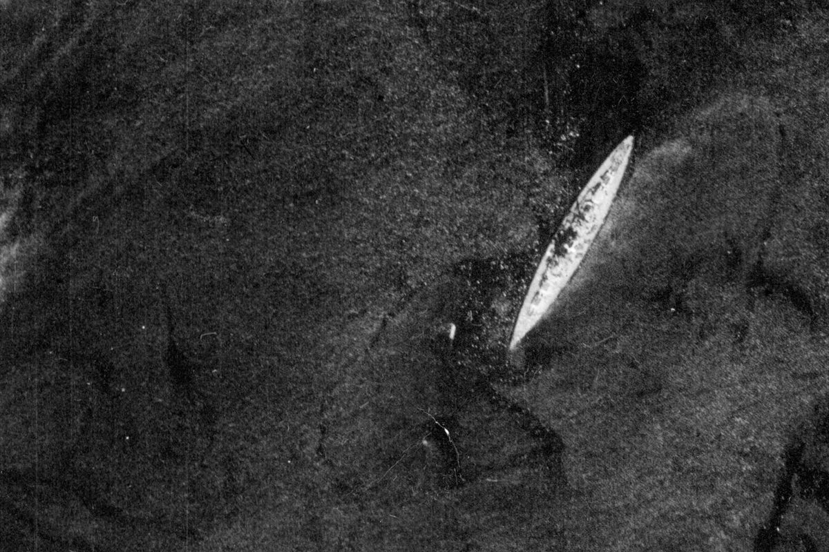
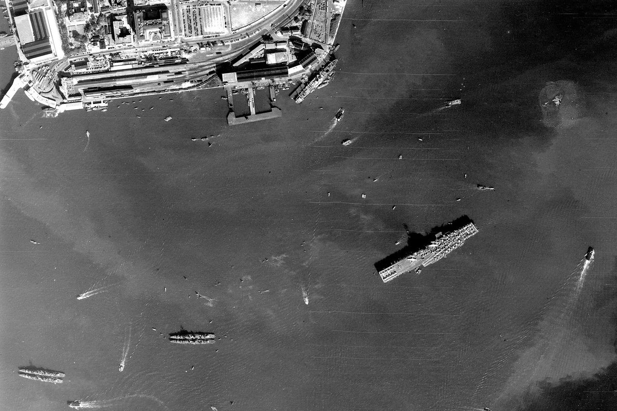
The Photograph That Sunk a Battleship
In May 1941, a photographic reconnaissance mission flown by the Royal Air Force captured one of the most consequential images of the Second World War. Taken by pilot Michael Suckling...
Read more
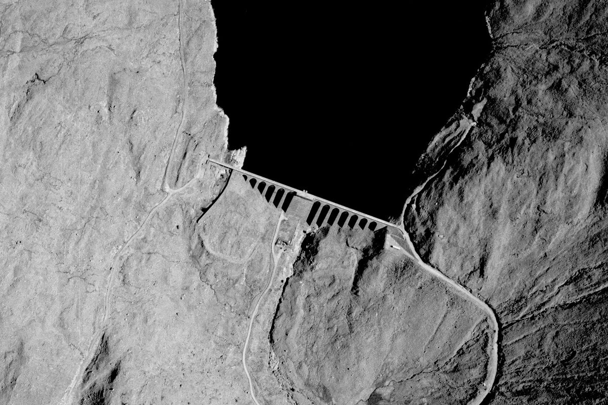
Anatomy Of: Hydroelectric Power Stations
In the first of our 'Anatomy Of' series of articles, we look at the way aerial photography held by NCAP reveals how the power of moving water is harnessed to...
Read more
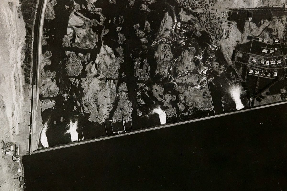
Rediscovering the Nile: How Aerial Surveys Reveal Vanished Landscapes
The National Collection of Aerial Photography preserves images captured for the Geographical Section, General Staff decades before the construction of the Aswan High Dam transformed the River Nile and its...
Read more
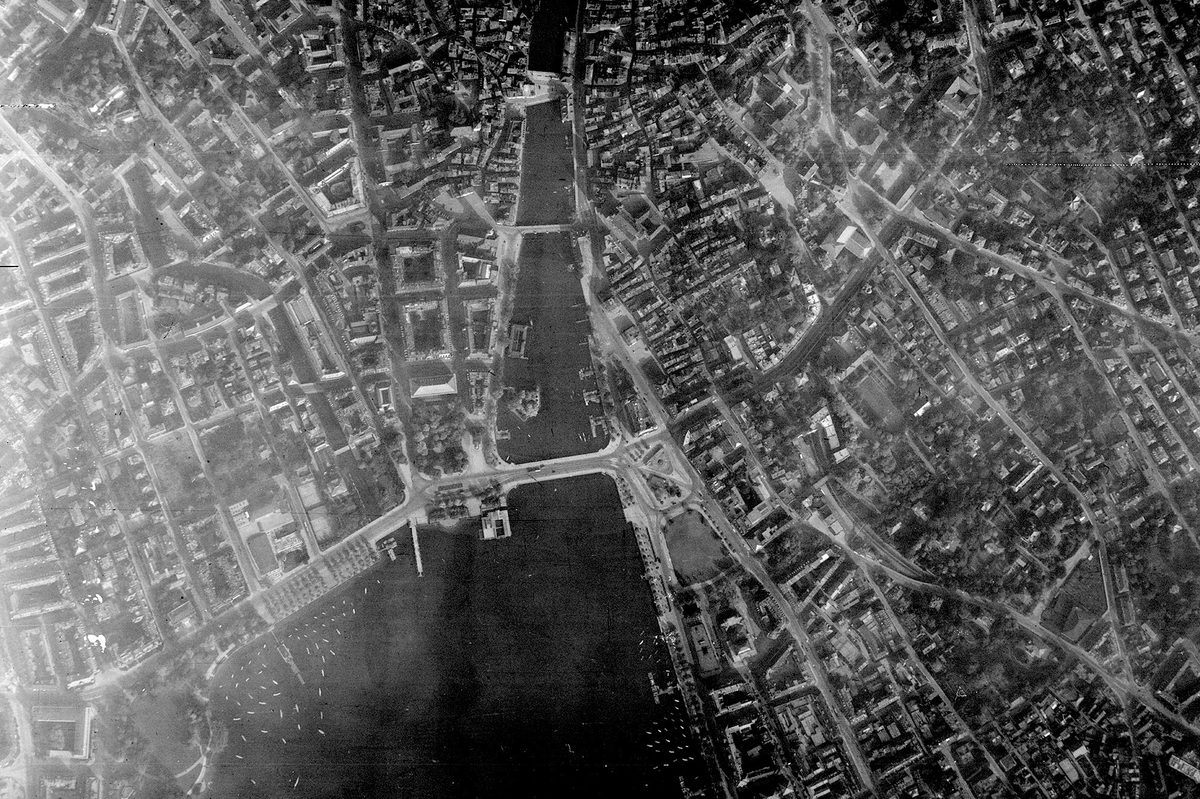
Image Release Note 0035: NARA Upload
This release highlights Second World War imagery from NARA, with considerable coverage of Germany, as well as France, central Europe and the Middle East.
Read more