Image Release Note 015: NCAP Upload
Summary
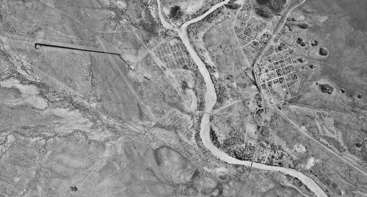
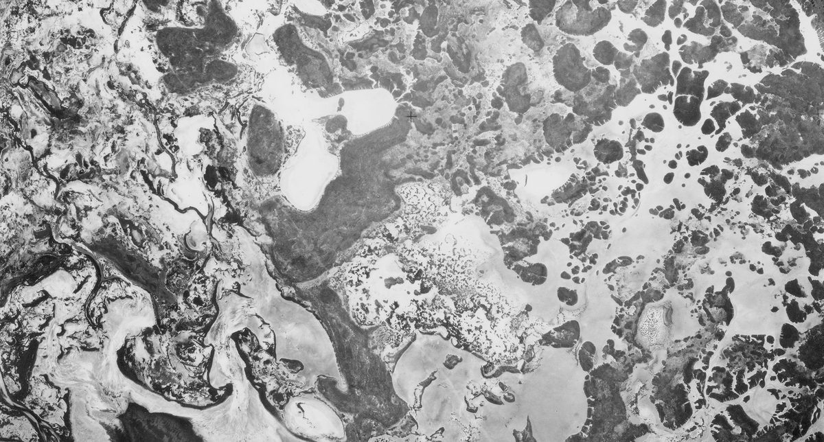
This release covers 80 years of aerial photography, and is largely dedicated to material from the Directorate of Overseas Surveys (DOS), with near-complete coverage of Malawi, a British colony until 1964. The imagery spans from the 1940s through the 1980s, capturing the region during a pivotal period of colonial transition, independence, and post-colonial development.
The systematic and repeated survey approach of the DOS provides a rare longitudinal view of land use, settlement expansion, and environmental change across Malawi's landlocked landscape, especially the Great Rift Valley. This makes the collection an invaluable resource for researchers studying political, social, and ecological transformations in the region.
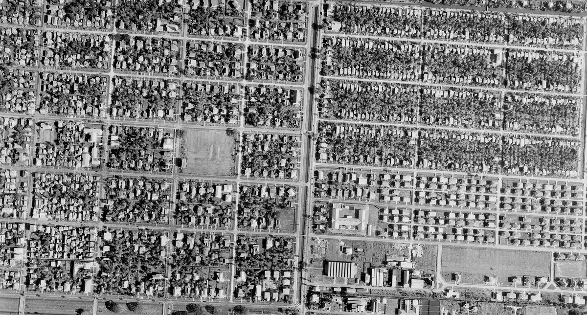
Additionally, this release includes coverage of Malawi from the Joint Air Reconnaissance Intelligence Centre (JARIC) dating to 1948. British military interests from the 1920s-1940s are represented in Defence Geographic Centre (DGC) material covering Hong Kong, Malta and North Africa alongside a small amount of later commercial survey coverage of the United Kingdom from the Simmons collection.
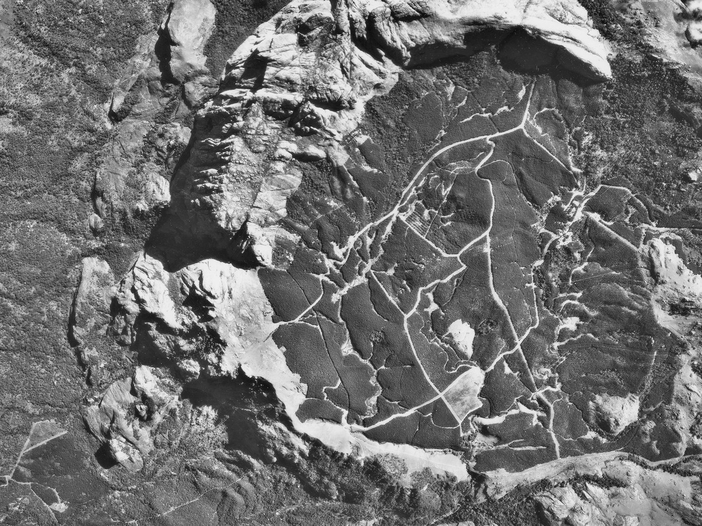
Image caption: Part of the Mount Mulanje Massif, Malawi; Collection: DOS, Sortie: 82/MW/0012, Frame: 0013 (07 July 1965).
| Release Extent | |
|---|---|
| New Sorties | 347 |
| New Frames | 43,123 |
| Date Range | 1920s-2000s |
Geographical Coverage
United Kingdom
- England: New Forest, Chelmsford, Oxford, Watford, Humberside, Isle of Wight
Europe
- Mediterranean: Malta
- Western Europe: Belgium
International
- East Africa: Malawi
- North Africa: Egypt, Libya
- West Africa: Nigeria
- East Asia: Hong Kong
| Collection Detail | ||
|---|---|---|
| DOS | 309 sorties | 38,446 frames |
| SIMMONS | 12 sorties | 1,692 frames |
| JARIC | 4 sorties | 1,556 frames |
| DGC | 22 sorties | 1,429 frames |