Missing in Action
Aerial imagery can be a vital tool for locating the remains of service personnel killed during military action or while serving as prisoners of war.
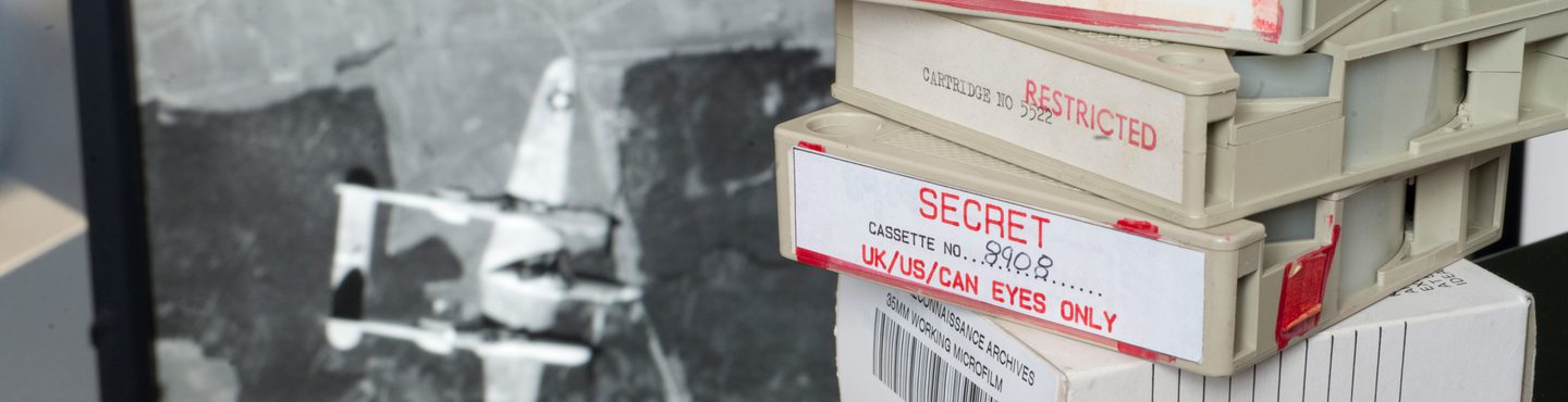
An Extensive Resource
Most of the material held by the National Collection of Aerial Photography (NCAP) is military-declassified, with much taken for aerial reconnaissance purposes during conflicts including the Second World War and Cold War. Aerial intelligence benefits immeasurably from repeat cover, allowing Photographic Interpreters (PIs) to gain an understanding of what looks 'normal' and identify when potentially crucial changes have taken place. As such, images held by NCAP often provide a comprehensive record of areas of military conflict over time.
Vital Information
This comprehensive record can help with tracking down the locations of military personnel killed during conflict. If a general location and date are known, analysis of images held by NCAP can identify visible changes which might help locate remains, or help identify remains that have been found.
Unique Opportunities
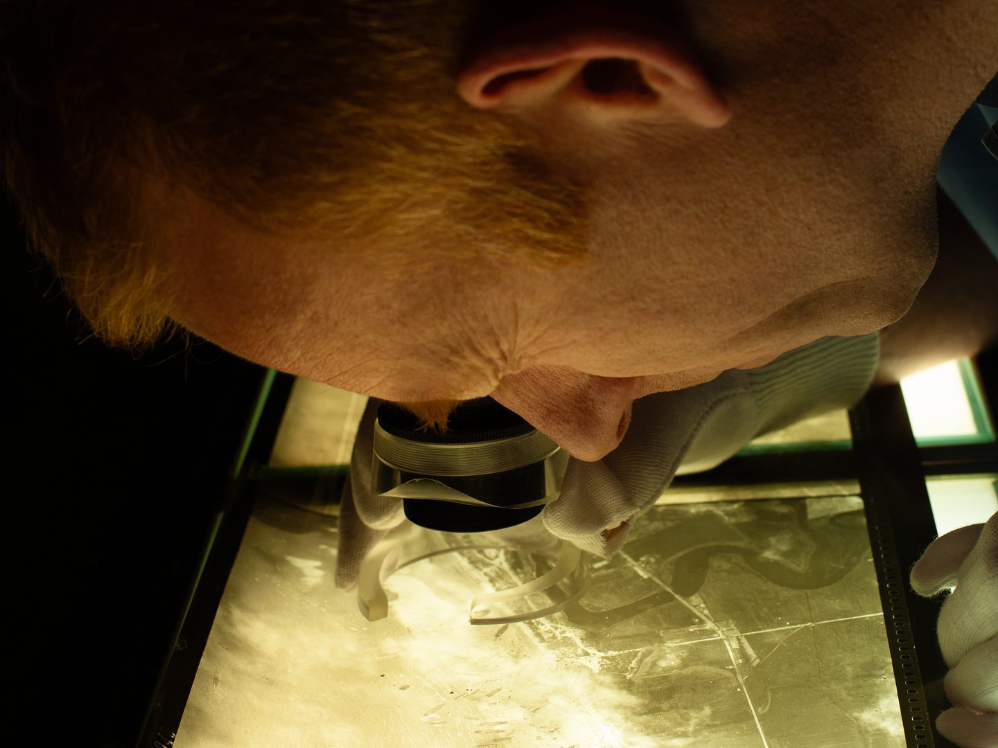
Aerial imagery has unique advantages when being used to support research of this kind. It does not rely on potentially confused or contradictory eyewitness testimony compiled after the heat of a conflict, instead providing a snapshot of exactly what happened. It can show locations repeatedly over a period of time, in their wider context, allowing for a wider area to be examined for changes. Aerial reconnaissance pilots flew over areas of territory held or retaken by enemy forces, providing imagery of locations not necessarily included in on-the-ground reports.
How to access imagery
There are two ways to order NCAP imagery;
Visit our online portal which provides easy access to previously digitised imagery that is ready to order at optimal resolution.
Map SearchNCAP offers a Scan-on-Demand Service where you can identify specific new images for digitisation by using Finding Aids where available. See the How-To Guides for help using the Finding Aids and ordering imagery.
How-To Guides Scan on DemandAlternatively, you can get in touch with us directly to discuss your needs.
Contact Us
More Case Studies

Creative Uses
From D-Day to the hunt for secret German weapons, the creative industry has used NCAP imagery to provide authenticity to their productions.

Explosive Ordnance Disposal
NCAP imagery is used by Explosive Ordnance Disposal specialists to manage and mitigate the risks posed by unexploded ordnance.

Boundary Disputes
Spanning 100 years, NCAP's aerial photographs can be vital tools in litigation, providing the crucial detail needed to prove property boundaries and rights of way.

Land-use Change
Monitoring and analysing changes in land use is an essential part of planning for a sustainable future and is a commercial, political and technical challenge.

Police Investigation
NCAP aerial photography has long been used by Police Scotland in investigations and when reviewing cold cases to assess landscape changes.