Image Release Note 014: NCAP Upload
Summary
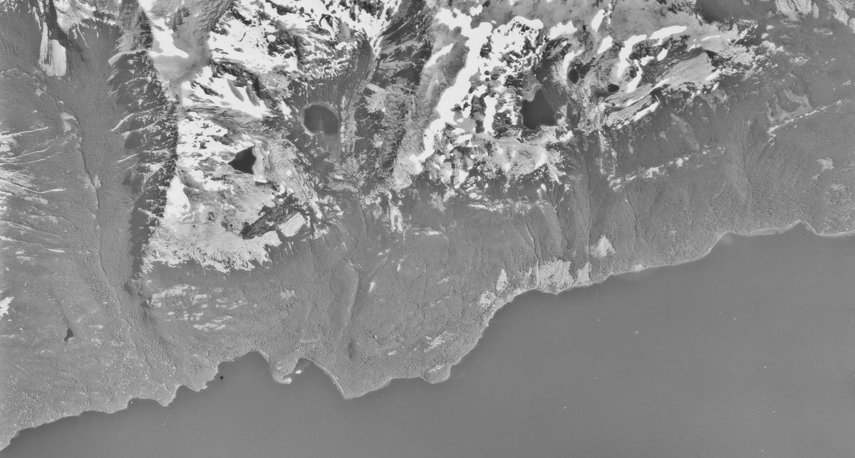
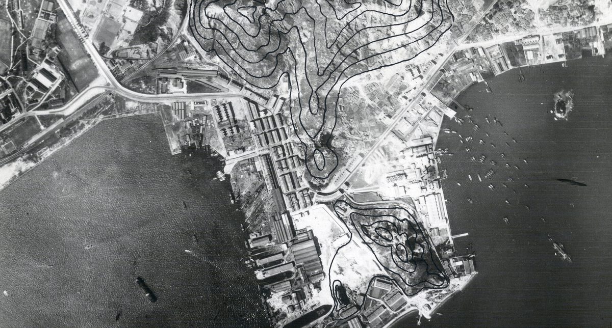
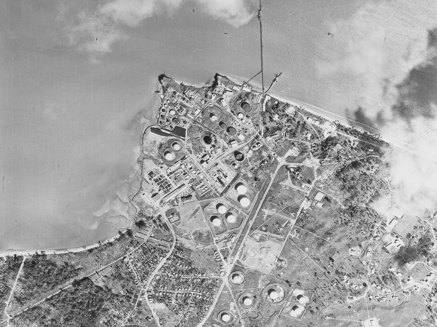
This release is dedicated entirely to aerial photography from the Directorate of Overseas Surveys (DOS), with near-complete coverage of Guyana, a former British colony until 1966. The imagery spans from the 1940s through the 1980s, capturing the region during a pivotal period of colonial transition, independence, and post-colonial development.
The systematic and repeated survey approach of the DOS provides a rare longitudinal view of land use, settlement expansion, and environmental change across Guyana’s diverse landscapes — from coastal plains to interior forests. This makes the collection an invaluable resource for researchers studying political, social, and ecological transformations in the region.
Additionally, two sorties over Suriname, though historically a Dutch colony, are included, reflecting broader regional mapping efforts.
| Release Extent | |
|---|---|
| New Sorties | 432 |
| New Frames | 42,233 |
| Date Range | 1940s – 1990s |
Geographical Coverage
South America
- Guyana: Extensive and repeated aerial coverage (1940s–1990s) for mapping and development
- Suriname: Two sorties included, offering comparative regional context
| Collection Detail | ||
|---|---|---|
| DOS | 432 sorties | 42,233 frames |