Celebrating our Volunteers’ Invaluable Contributions!
This Volunteers’ Week, we are highlighting the fantastic contribution our volunteers make to the National Collection of Aerial Photography’s (NCAP) mission to preserve and make accessible the 30 million aerial photographic images in our care.
Footprinting
In December 2024, we launched the NCAP Digital Connector volunteering role, looking for people to help us with the important task of footprinting our digitised aerial images. Footprinting involves drawing a polygon (geometric shape) on a map to match the area of the world’s surface shown in an aerial image. This allows users of our website to find aerial images and see which ones cover their Area of Interest.
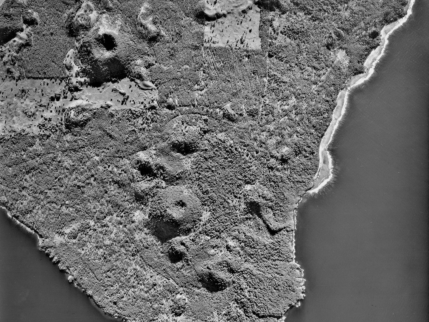
Volcanic cones on the island of Taveuni, Fiji; Collection: DOS, Sortie: JICA/77/0006, Frame: 0075 (30 July 1977)
We started by advertising the Digital Connector volunteer role to members of the Medmenham Association. The Medmenham Association was established as the Medmenham Club in 1946 to maintain the camaraderie enjoyed by the Photographic Interpreters (PIs) of all services who served in the Allied Central Interpretation Unit during the Second World War. Since then, the success of the programme has allowed us to open the opportunity up to anyone who might be interested. Nearly 50 people have started the programme so far, from retired Imagery Analysts to students looking for experience in the heritage sector.
In the 18 months the Digital Connector role has been running, our volunteers have contributed nearly 1,500 hours to NCAP. During that time, they have created over 21,300 footprints across more than 230 sorties. This photography has mostly come from the Directorate of Overseas Surveys (DOS) collection, as well as material produced as part of our collaboration with the US National Archives and Records Administration. They have geolocated images all over the world, from the Caribbean to the Mediterranean, the Indian Ocean and the Pacific.
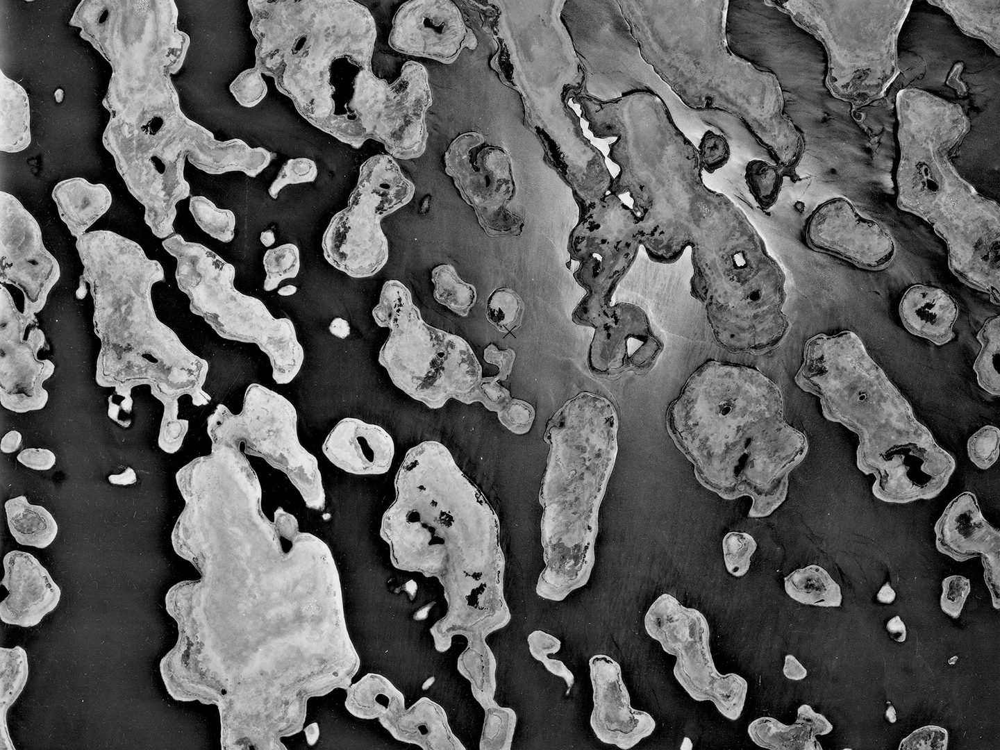
Lake Chad, on the border of Niger and Chad; Collection: DOS, Sortie: 137/LCBC/0019, Frame: 0080 (01 June 1973)
Locating Unlocated Imagery
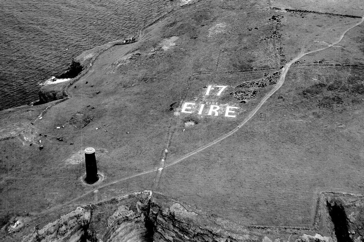
Our volunteers work on a mix of imagery, both survey and military reconnaissance. While the survey material is often well-plotted, a lot of the reconnaissance imagery is unlocated, requiring the volunteers to use their knowledge and skills to work out where photographs have been taken. Many of these unlocated sorties were flown by German reconnaissance aircraft over Eastern Europe and the United Kingdom; the imagery was seized by the Allies at the end of the Second World War and shared between the United States and the United Kingdom.
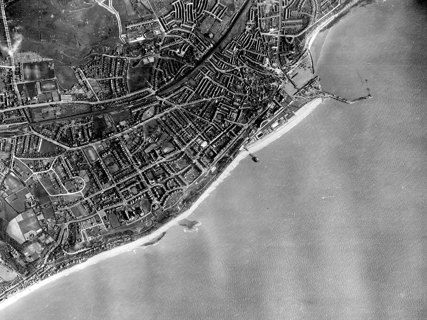
Folkestone on the south coast of England, photographed by a German reconnaissance aircraft; Collection: NARA, Sortie: GX/12020, Frame: 0435 (06 April 1943)
What Next?
The sorties our volunteers have worked on are steadily becoming available to view on our online portal. In the meantime, the volunteers are continuing to footprint imagery and research unlocated sorties. We are delighted to be able to celebrate their valuable contribution to NCAP this Volunteers’ Week!
Ben Reiss, NCAP Collections Manager