Map Festival
On Friday 6 February 2026, NCAP participated in the first ever Map Festival – a celebration of all things cartographic, alongside the National Library of Scotland (who hosted the event), National Records of Scotland, City of Edinburgh Council, the University of Edinburgh and our colleagues from Historic Environment Scotland.
Mapping and Aerial Photography
Maps are fundamental to aerial photography. Aerial photographs are routinely plotted onto maps, allowing people to establish which images cover their area of interest. Many aerial surveys are commissioned for the express purpose of creating maps.
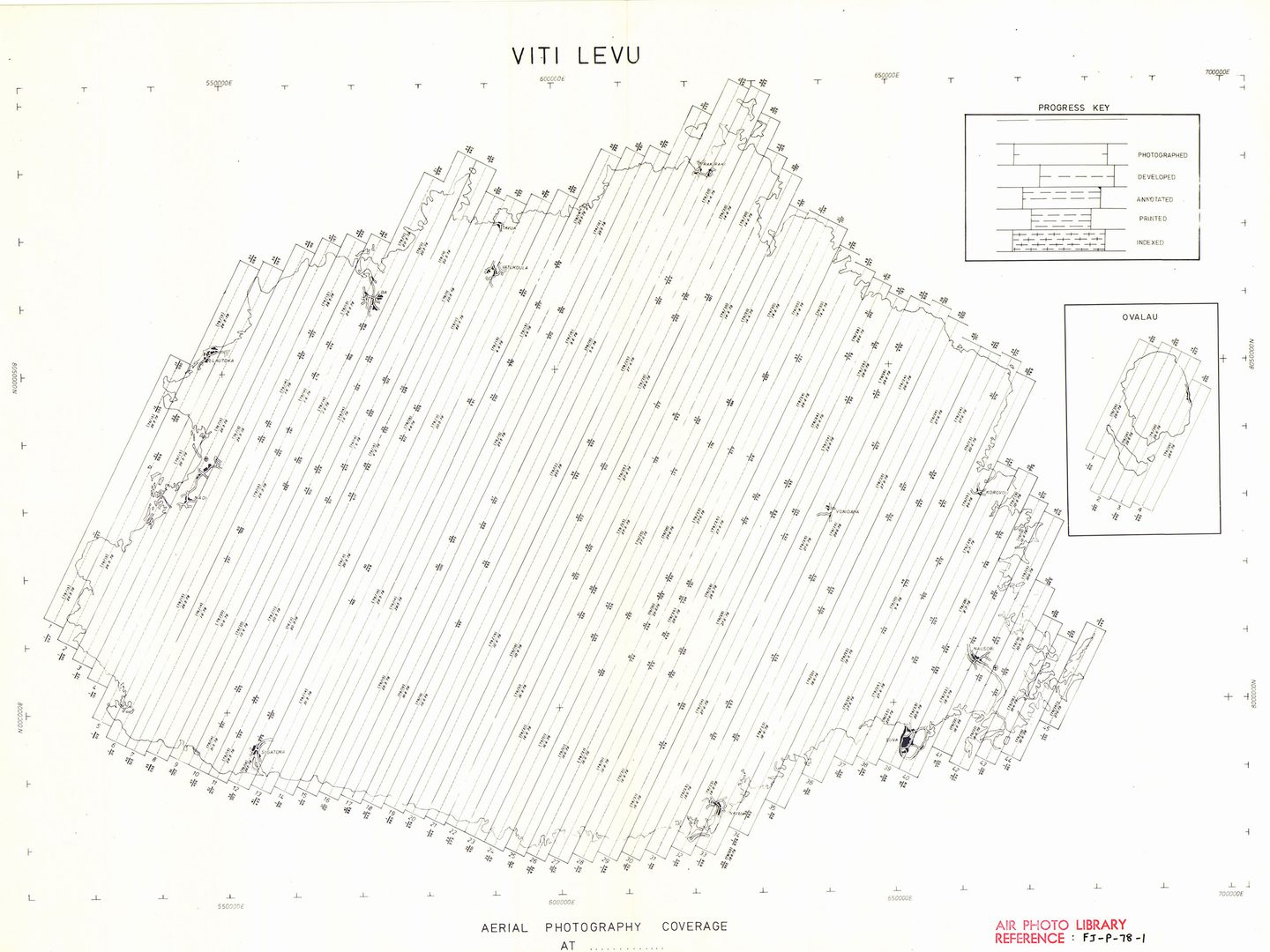
A map of Viti Levu - the largest island in Fiji - showing the footprints of sorties flown by New Zealand Aerial Mapping Ltd. on behalf of the Directorate of Overseas Surveys in 1978
The 1.7 million aerial photographs held by the Directorate of Overseas Surveys and now cared for by NCAP were used to create maps of British Commonwealth and Empire countries. These were recently digitised as part of a large-scale digitisation project in partnership with Stockholm University and the University of California (Berkeley).
Maps at NCAP
As such, NCAP cares for hundreds of thousands of maps, mostly in the form of sortie plots. A significant proportion of these date from the Second World War and usually take the form of hand-drawn footprints accurately drawn onto maps. They were produced by specialist plotters working at RAF Medmenham.
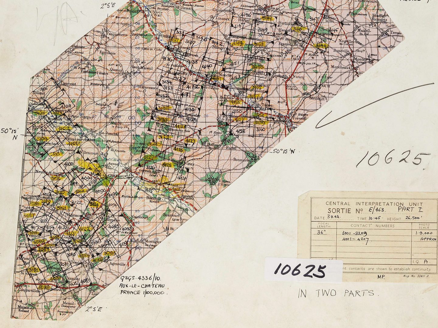
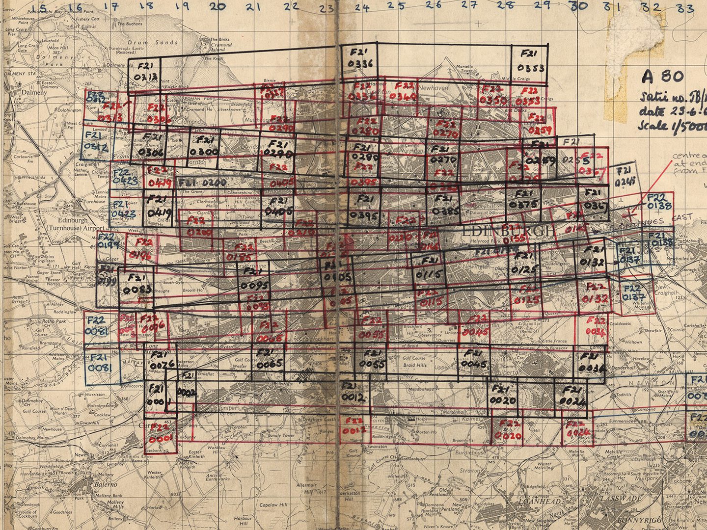
Allied Central Interpretation Unit plot 10625, showing footprints for sortie E/0463 drawn by personnel at RAF Medmenham on Geographical Section, General Staff Map 4336/10, Aux-le-Chateau, 1:100,000
Other plots might just show the footprints drawn onto a blank sheet, with nothing more than degree square markings to locate them. More recent sortie plots are likely to comprise of digitally produced centre points located onto a modern map.
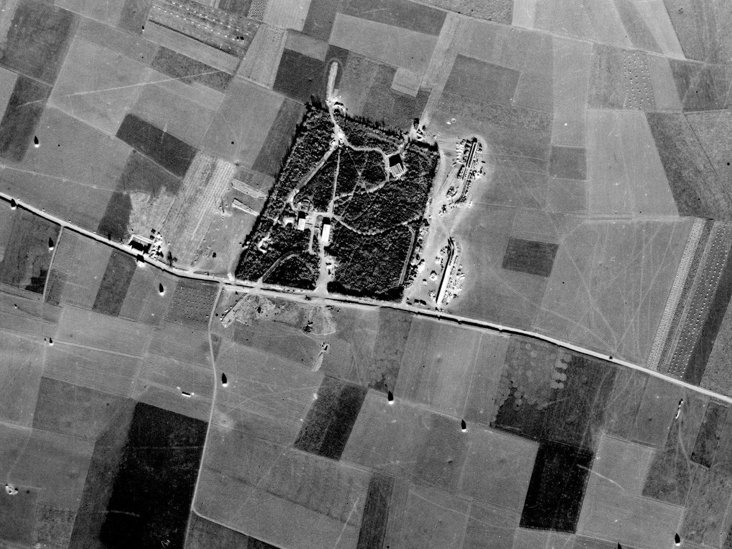
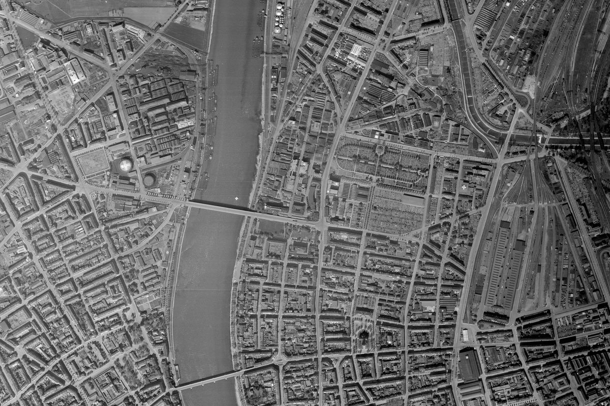
Frame 4089 from plot 10625, showing a V1 flying bomb site in a wood near Yvrench, Normandy; the first to be comprehensively described; Collection: ACIU, Sortie: E/0463, Frame: 4089 (03 November 1943)
Mapping is also crucial to NCAP's daily operations. In order to preserve the imagery we hold, and make it accessible, we undertake regular programmes of digitisation and dissemination on our online portal. This requires NCAP staff to geolocate aerial photographs using our bespoke Cataloguing Tool, drawing ‘footprints’ in a map-based system which match the area covered by each image.
Map Festival
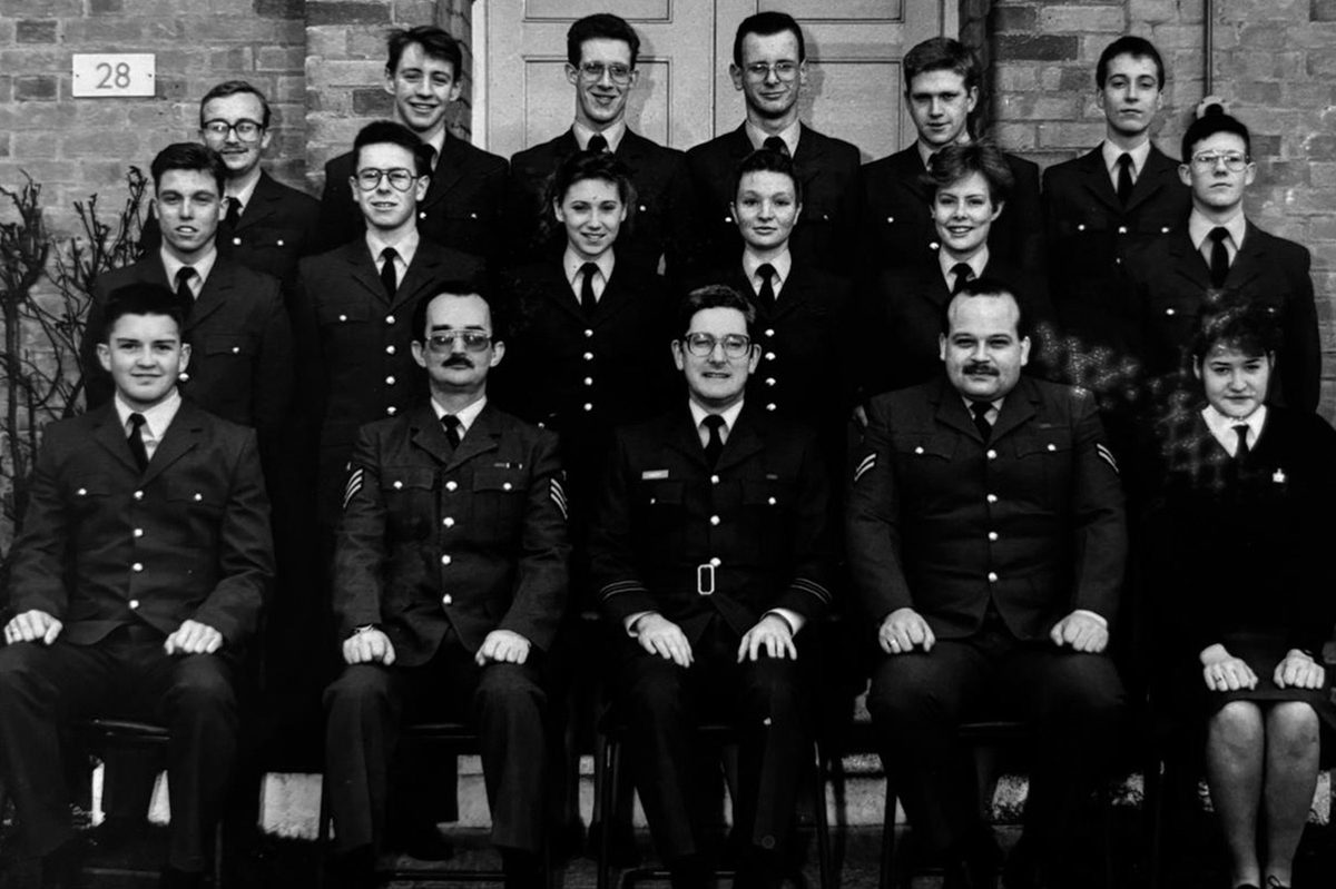
With this in mind, we were delighted to be invited along to the first ever National Library of Scotland Map Festival to demonstrate how mapping is important to us. Nearly 500 map enthusiasts attended to discover the amazing maps on show and hear fascinating talks, including one from the NCAP Operations Manager, Rachel Nordstrom, on the Directorate of Overseas Surveys project and how this collection is finding new research applications through international research projects.
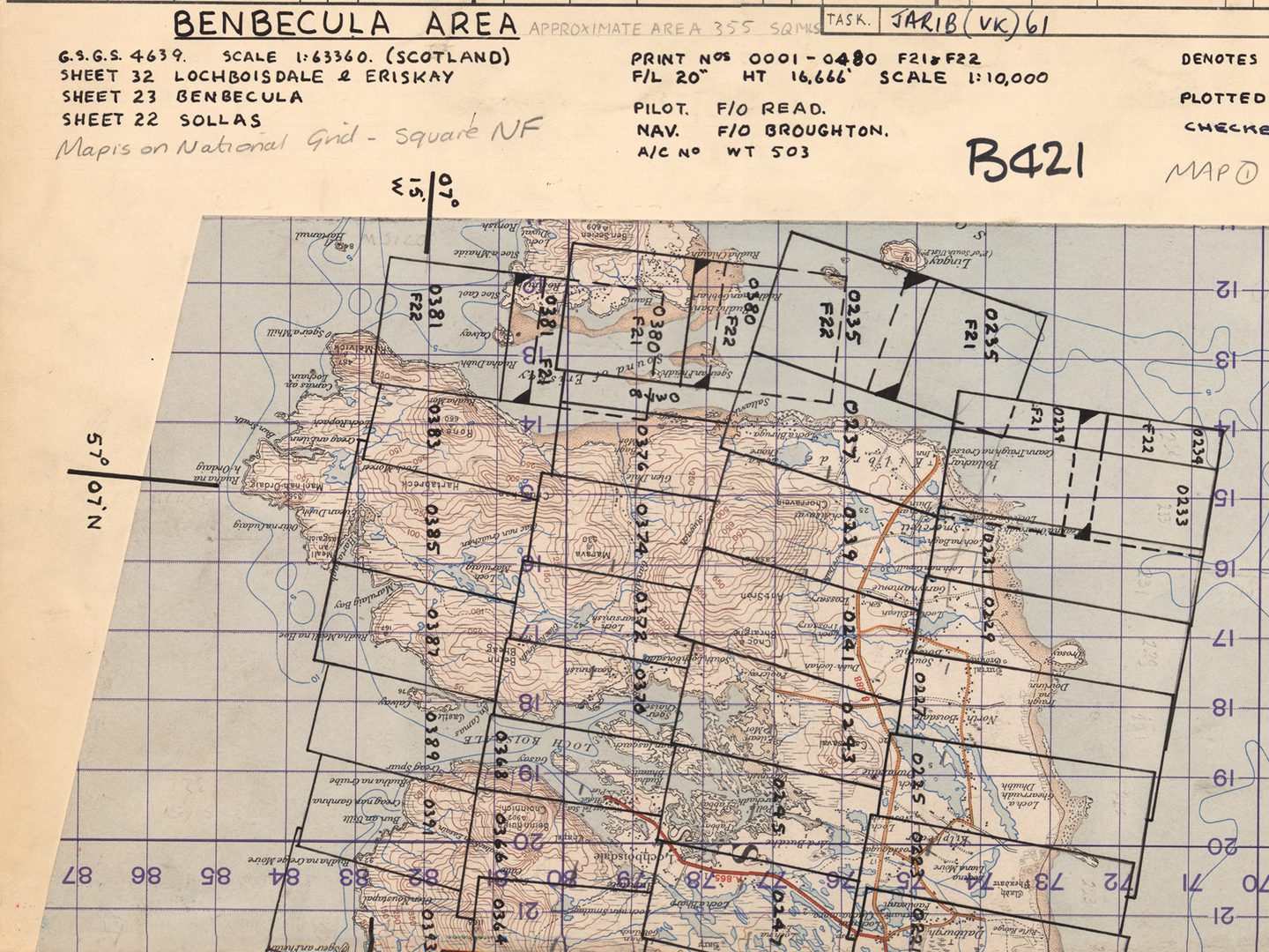
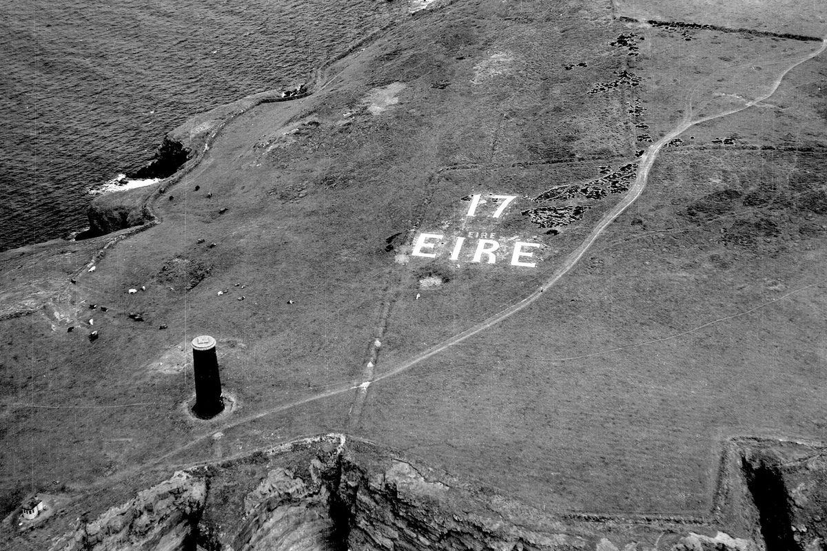
Plot SCOT_B_0421 showing the footprints of sortie 58/RAF/1962, flown by 58 Squadron (RAF) over the island of Benbecula off the west coast of Scotland on 19 March 1956
It was great to be able to attend an event that so visibly positioned NCAP within the wider archives sector, showing how our holdings and work complement and shed light on other collections around Edinburgh. We introduced ourselves to lots of people who hadn't heard of us before and built relationships with colleagues across the archival sector. Most importantly, we showed off just a few of the many fascinating maps we hold, and just how important mapping is to NCAP.
Ben Reiss, NCAP Collections Manager
Cataloguing and Access Directorate of Overseas Surveys Search our Collections