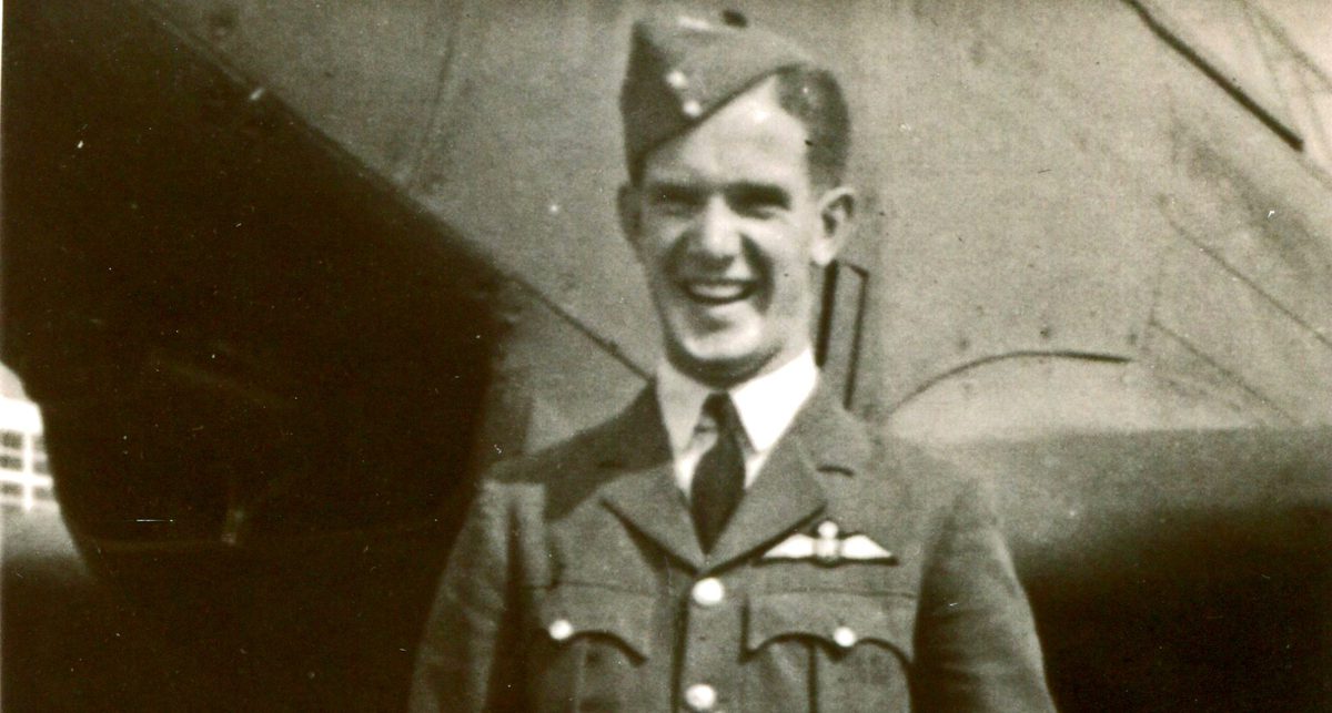
Celebrating NCAP Digital Connectors for International Volunteer Day 2025
This time last year, the National Collection of Aerial Photography (NCAP) introduced a new volunteer role: The NCAP Digital Connector. Through much of 2024, we worked with our colleagues in the volunteer team at Historic Environment Scotland to develop this opportunity. The idea was to involve members of the public in our work through locating and footprinting historic aerial photographic images.
Middle Bight Cay in The Bahamas, footprinted by Tony; Collection: DOS, Sortie: 1371/USAF/M/0285, Frame: 8628 (17 June 1958)
Since the first NCAP Digital Connectors received their initial batches of images in December 2024, we have received lots more interest from prospective volunteers. In all, 30 Digital Connectors have signed up to the programme across the last 12 months. To mark the first full year of the project, as well as International Volunteer Day and the uploading of the millionth image to our online portal, this seemed like the perfect time to celebrate their contribution.
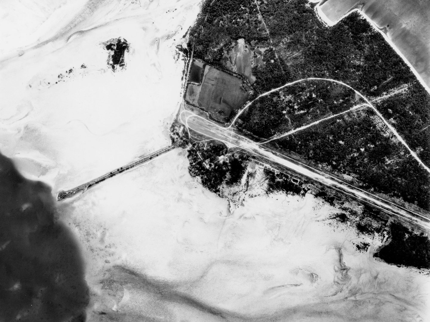
Lynden Pindling International Airport, Nassau, on the island of New Providence, footprinted by Nic; Collection: DOS, Sortie: 1371/USAF/M/0467, Frame: 1835 (04 November 1958)
Over the last 12 months, our volunteers have contributed a whopping 1,017 hours of their time to NCAP. This is such a valuable resource for us, and we hope those 1,017 hours have been enjoyable for the volunteers as well. The Digital Connector opportunity is not just about how NCAP can benefit, but also about providing our volunteers with interesting imagery to work on, and sometimes a bit of a puzzle to solve as well!
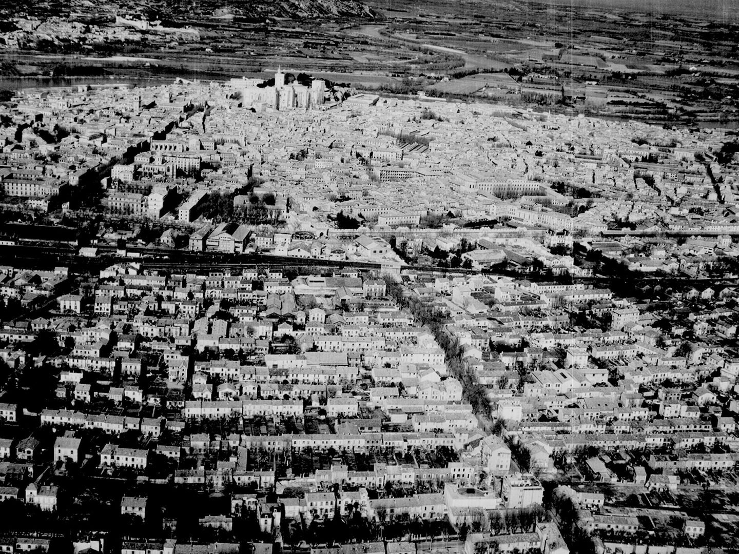
The historic city of Avignon, footprinted by Malcolm; Collection: NARA, Sortie: 111TRS/R/0173, Frame: 0012 (04 February 1946)
During those 1,017 hours, NCAP Digital Connectors have footprinted 14,765 frames across 154 sorties. These are frames which otherwise would not have found their way onto our online portal, so their hard work is a really valuable contribution to our mission to preserve and make accessible this amazing imagery.
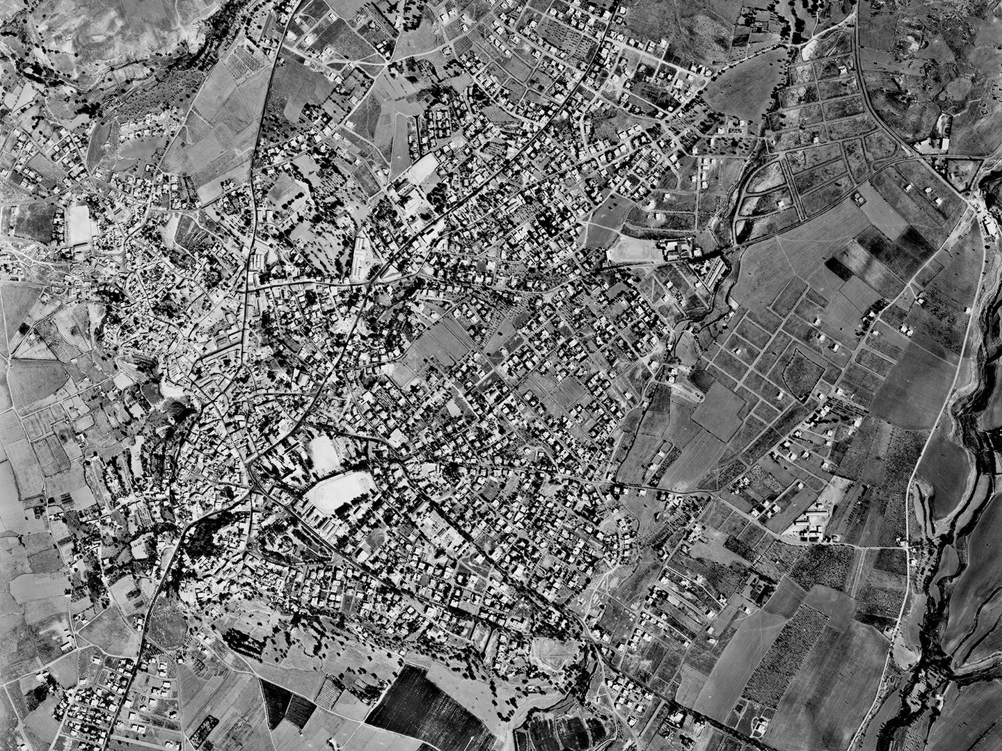
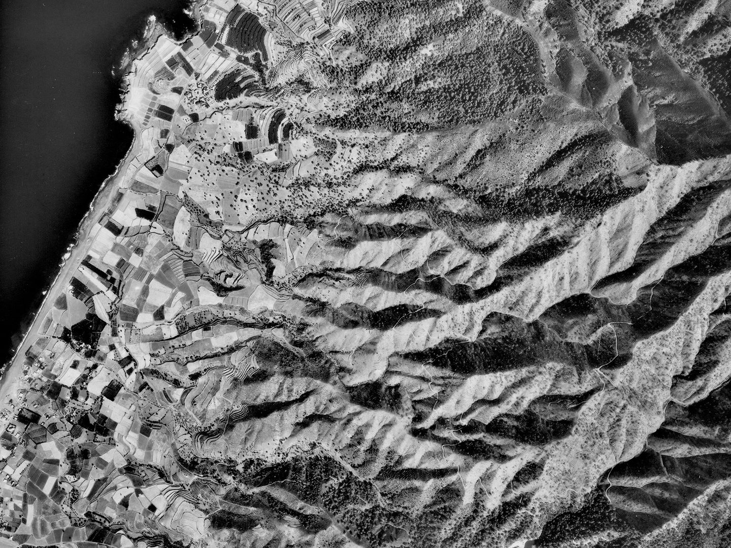
Paphos on the island of Cyprus, footprinted by Joe; Collection: DOS, Sortie: 162/CY/0005, Frame: 0009 (29 September 1976)
Among these 14,765 frames are some striking images. A series of previously unlocated sorties over France in late 1945 and early 1946 provide a fascinating insight into infrastructure across a country starting to rebuild after the devastation of war. Another sortie from 1943 (NARA/2SG/0049 – frame 0010 illustrated in the header image) sheds light on the little-known Allied occupation of Iceland throughout the Second World War, and provided a real challenge to locate for the volunteer assigned these images!
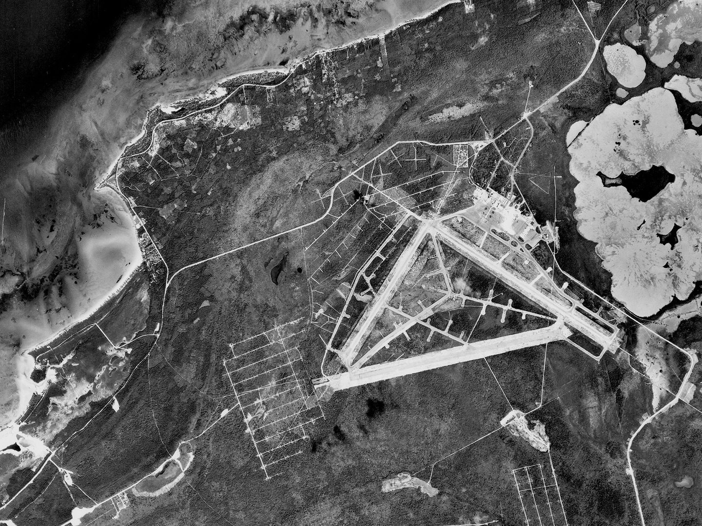
Bonriki International Airport, South Tarawa, main gateway to Kiribati, footprinted by Andrew; Collection: DOS, Sortie: LMS/68/0002/0261, Frame: 0091 (July 1968)
The Digital Connectors have also footprinted thousands of frames covering locations like Nassau and Andros Island in the Bahamas, Pafos and other regions of Cyprus, Kiribati and the Maldives.
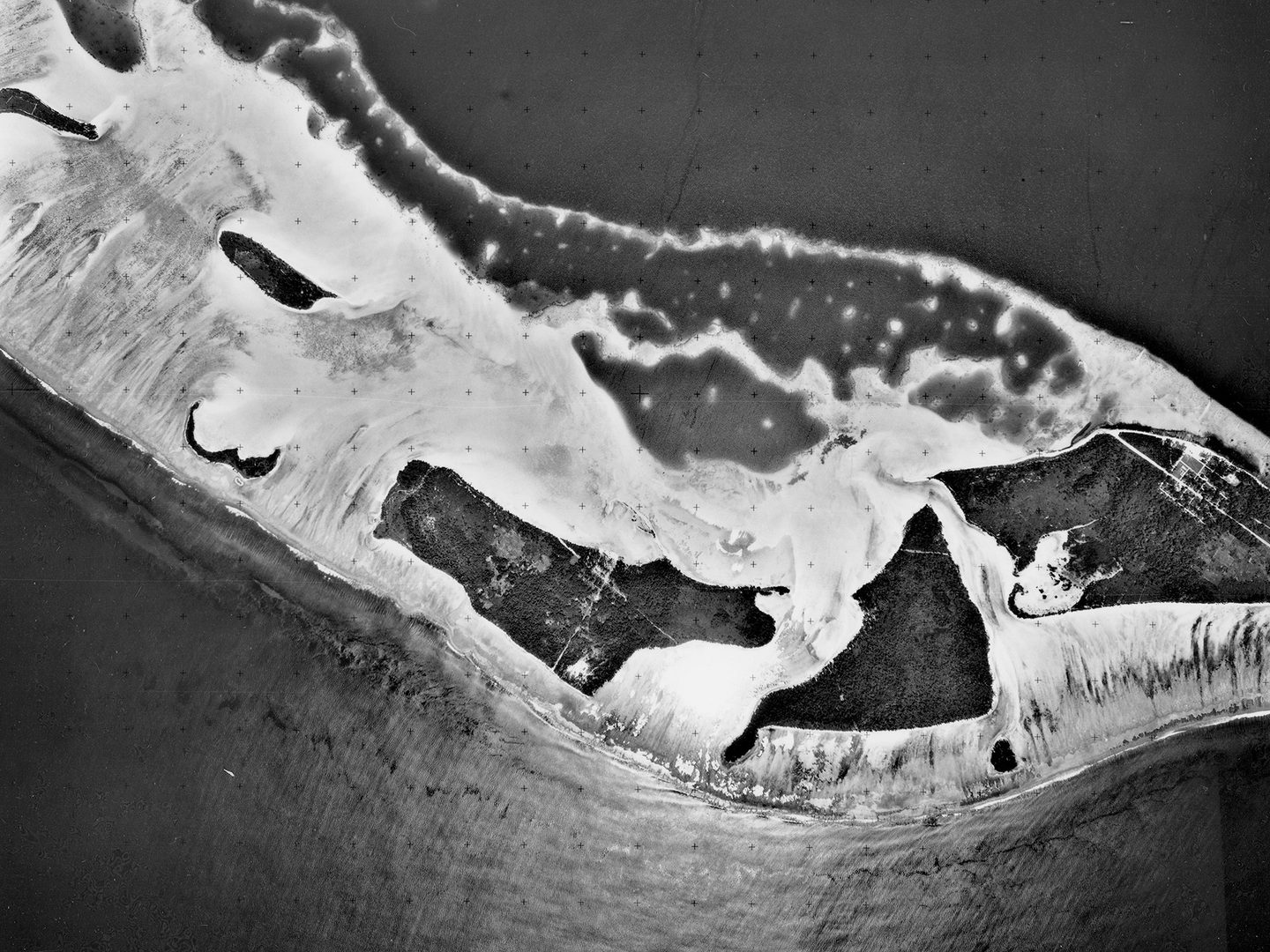
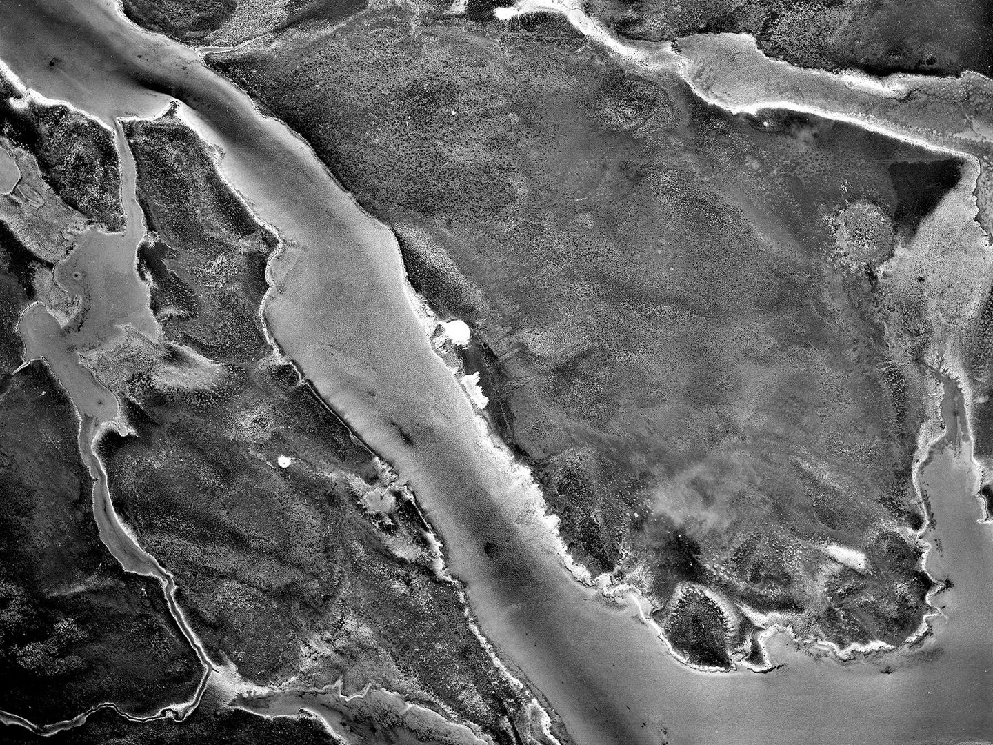
Part of the Laamu Atoll in the Maldives, footprinted by Andy; Collection: DOS, Sortie: 13M/RAF/1395, Frame: 0158 (19 February 1969)
These are incredibly valuable, providing as they do repeat coverage that pre-dates satellite imagery. These images can be used for research about a range of topics, including to provide vital insight for countries at severe risk from sea-level rises.
The village of Ayia Marina, Cyprus, footprinted by John; Collection: DOS, Sortie: 162/CY/0007, Frame: 0001 (30 September 1976)
The NCAP Digital Connector opportunity has got off to a great start, and International Volunteer Day is the perfect time to thank our volunteers for their valuable contribution over the last year. We're looking forward to continuing to work with our Digital Connectors as they help visitors to our website connect with the National Collection of Aerial Photography.
Ben Reiss, NCAP Collections Manager
Find out more about the collections the volunteers are working on