News & Articles
Find out about the latest news from NCAP and discover in-depth stories about NCAP collections, activities and projects.
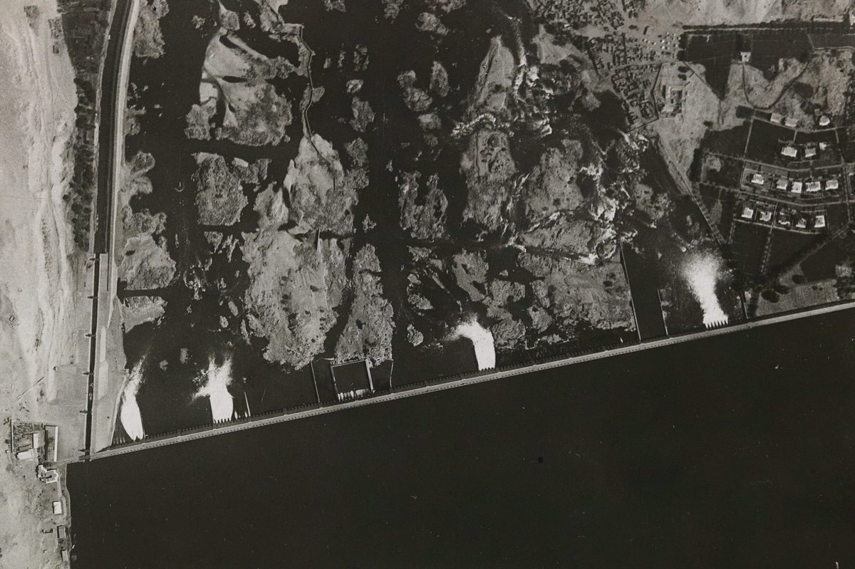
Rediscovering the Nile: How Aerial Surveys Reveal Vanished Landscapes
The National Collection of Aerial Photography preserves images captured for the Geographical Section, General Staff decades before the construction of the Aswan High Dam transformed the River Nile and its surrounding lands. Together, they offer a rare opportunity to rediscover the Nile as it once was.
Read more

Image Release Note 0035: NARA Upload
This release highlights Second World War imagery from NARA, with considerable coverage of Germany, as well as France, central Europe and the Middle East.
Read more
Royal Commission on the Ancient and Historical Monuments of Wales Collaboration
The National Collection of Aerial Photography has been working with the Royal Commission on the Ancient and Historical Monuments of Wales to digitise tens of thousands of aerial photographic images...
Read more
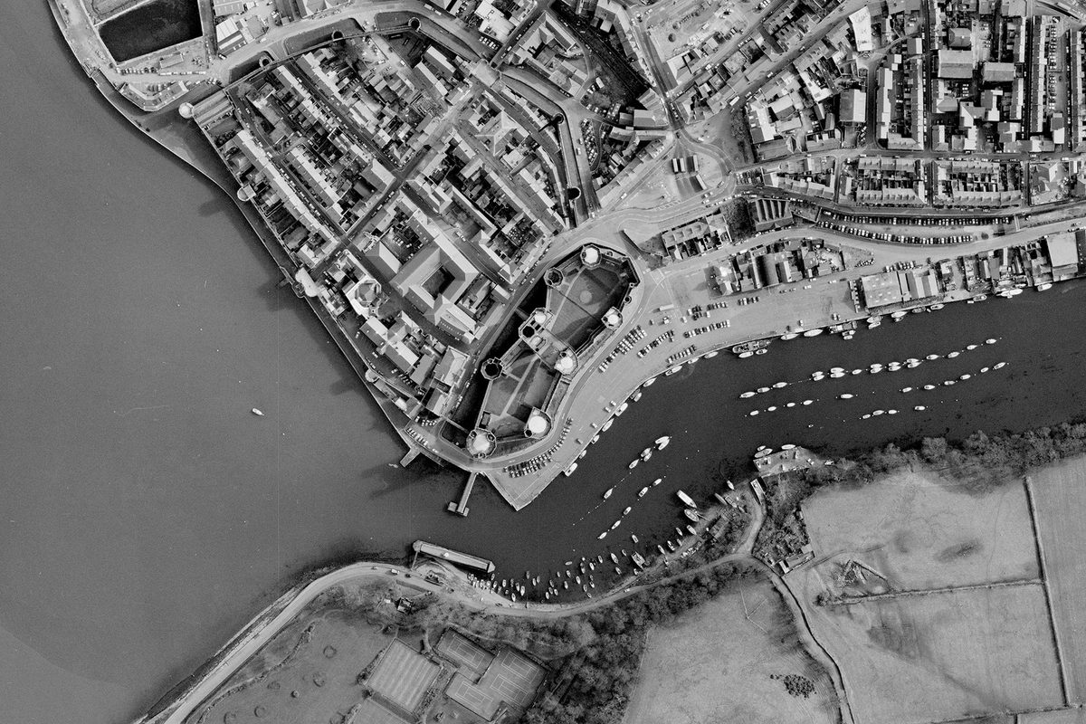
Image Release Note 0034: RCAHMW Upload
This release contains aerial reconnaissance imagery produced by the Royal Commission on the Ancient and Historical Monuments of Wales from the 1940s to the 2000s, digitised and published in collaboration...
Read more
Map Festival
On Friday 6 February 2026, NCAP participated in the first ever National Library of Scotland Map Festival – a celebration of all things cartographic.
Read more
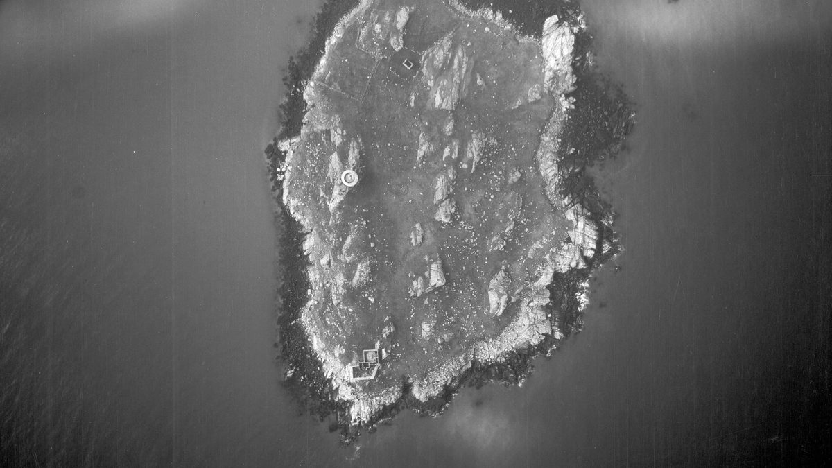
Image Release Note 0033: Irish Military Archives Upload
This release contains aerial reconnaissance imagery produced by the Irish Defence Forces from the 1920s to the 1990s, digitised and published in collaboration with the Irish Military Archives.
Read more
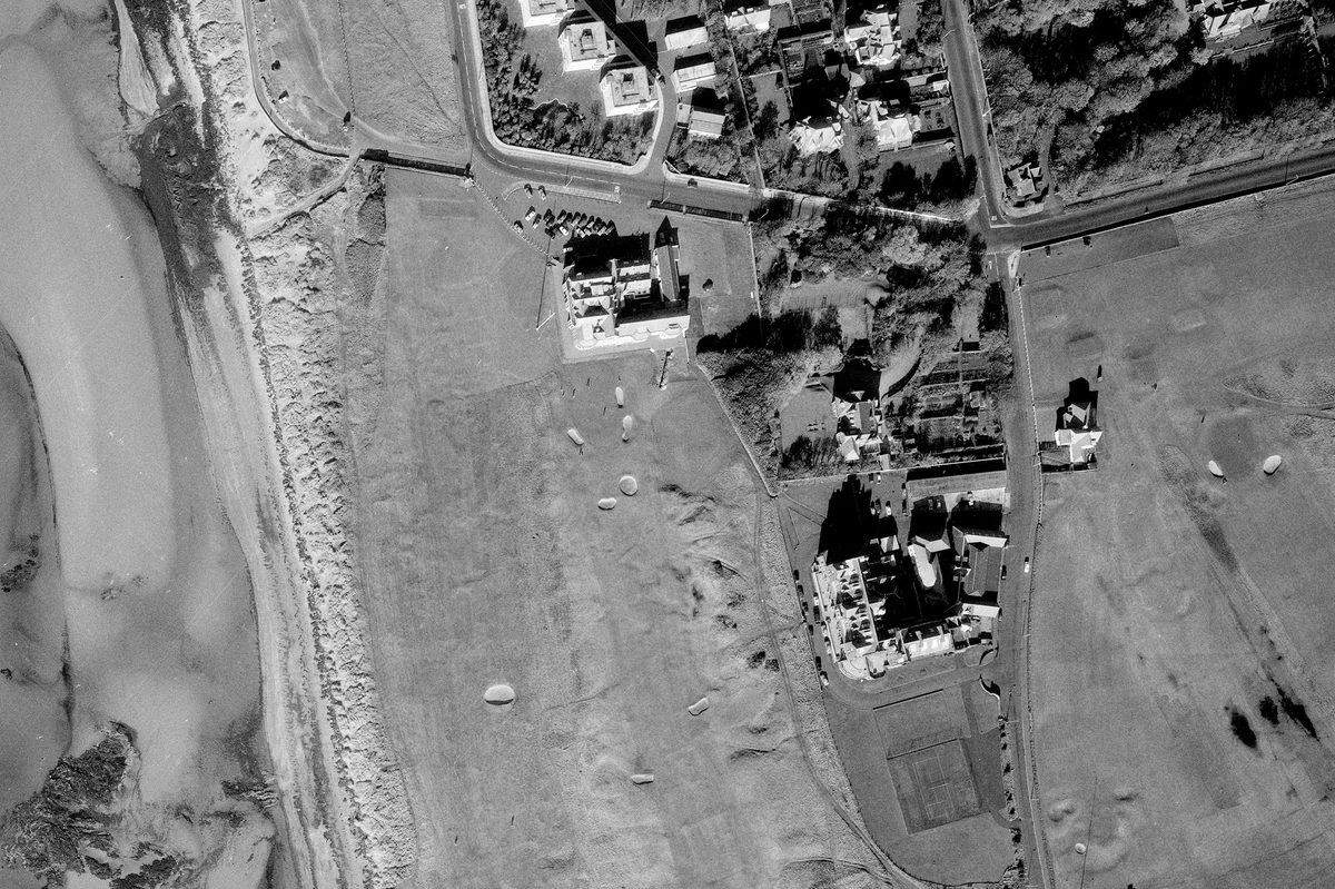
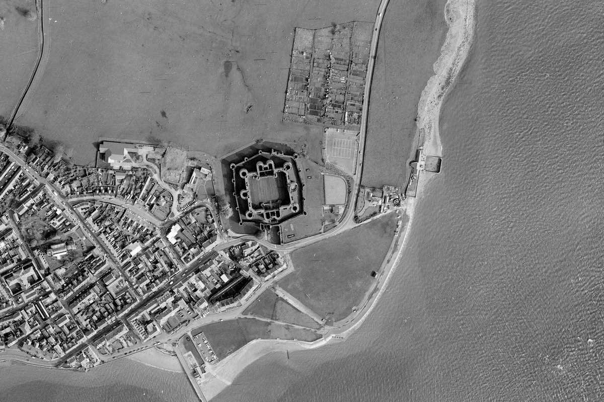
Aerial Photography, Golf and Royal Troon
Aerial photographic surveys were undertaken for a range of technical purposes; today these photographs can be used to understand land-use change over time, including the development of golf courses. This...
Read more
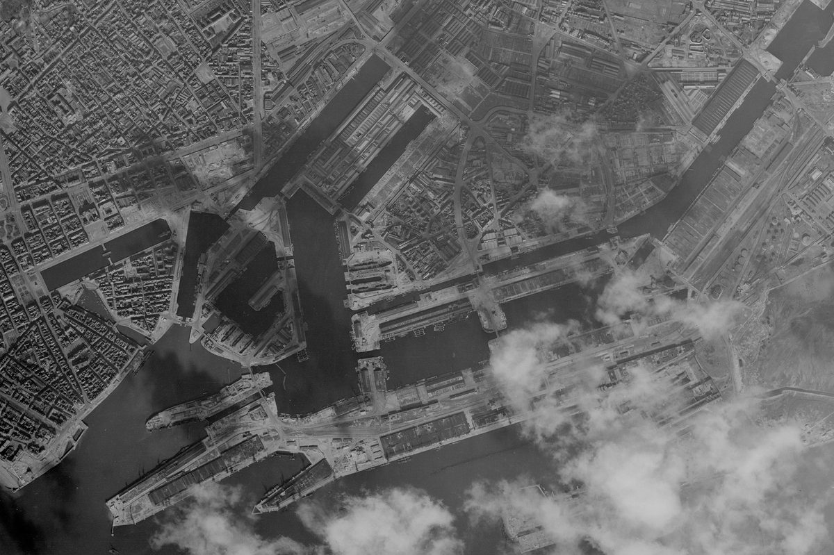
Image Release Note 0032: NARA Upload
This release highlights Second World War imagery from NARA, with considerable coverage of France, alongside Germany and the Low Countries.
Read more
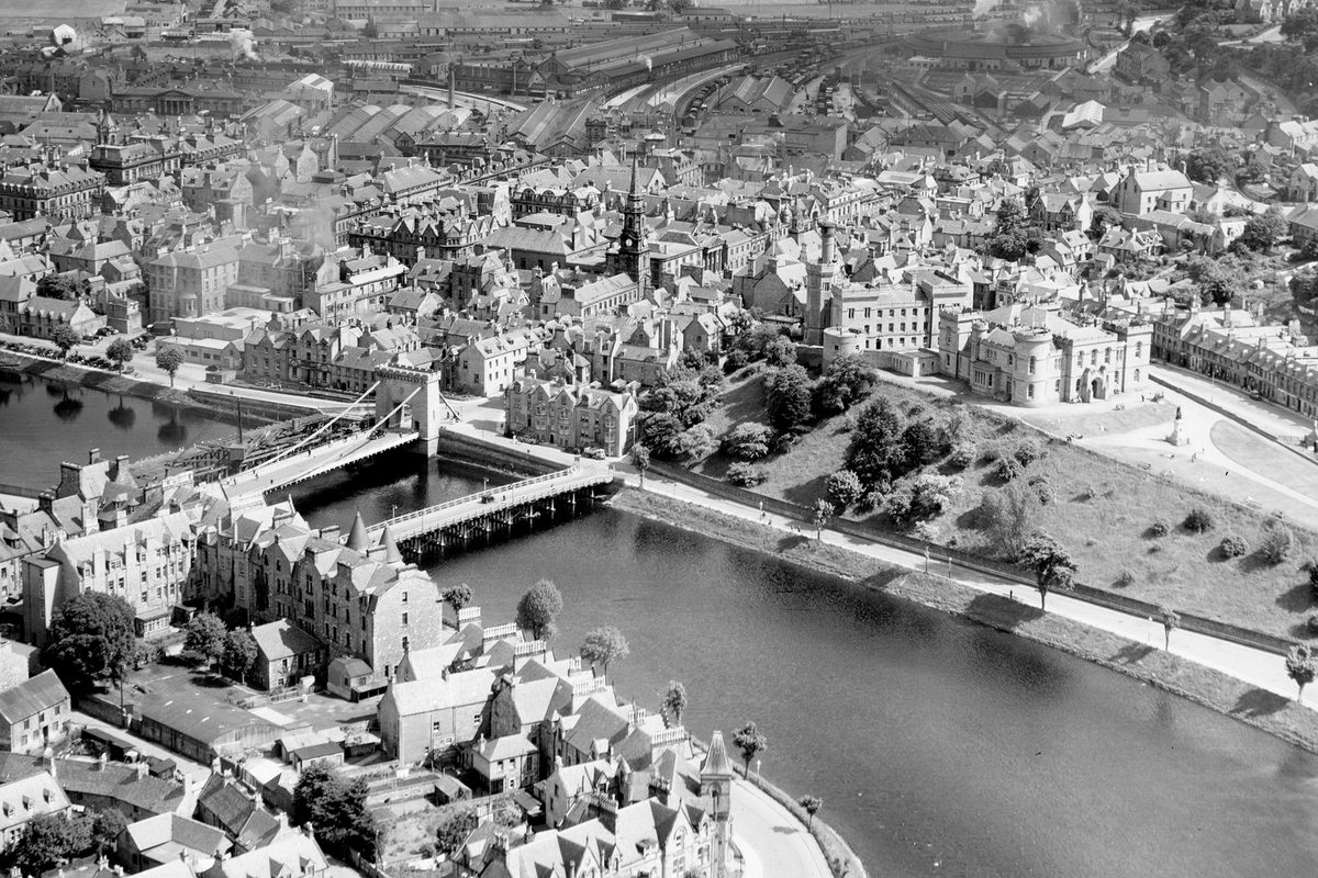
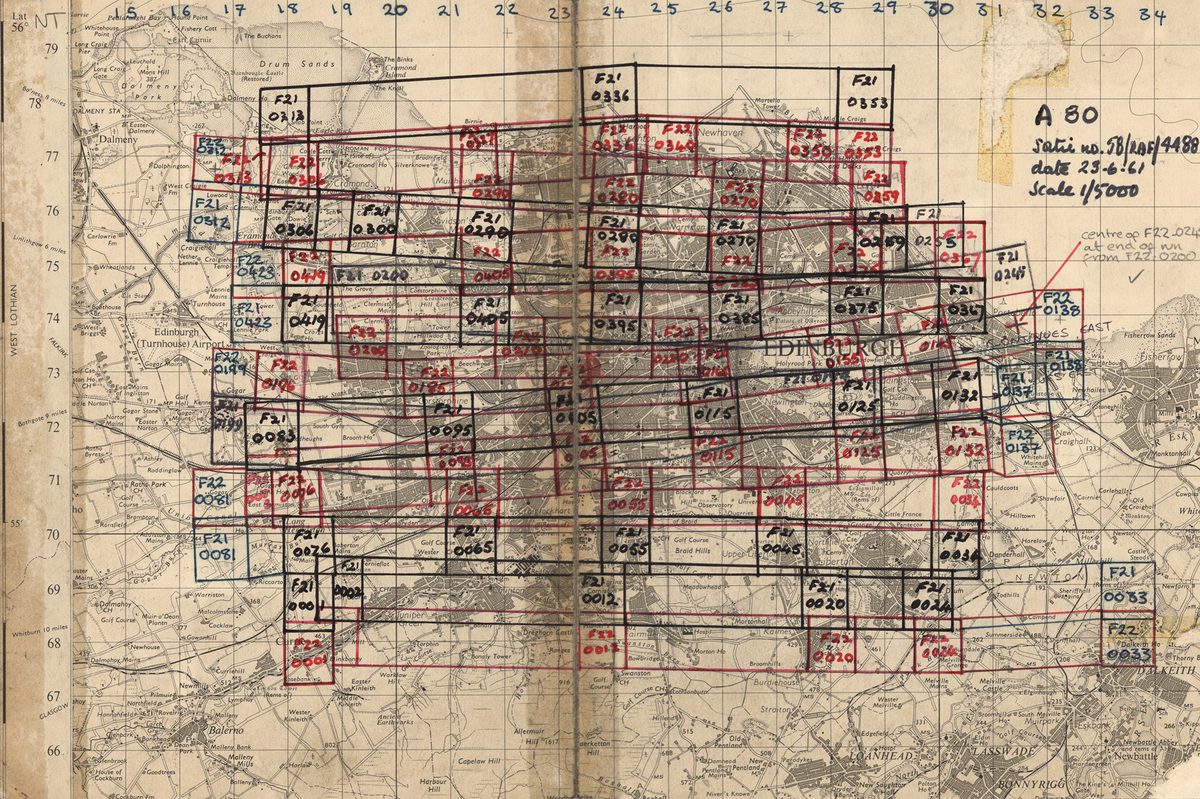
Operation REVUE
In the immediate aftermath of the Second World War, the Air Ministry directed the Royal Air Force to undertake Operation REVUE, a comprehensive aerial photographic survey of the United Kingdom...
Read more
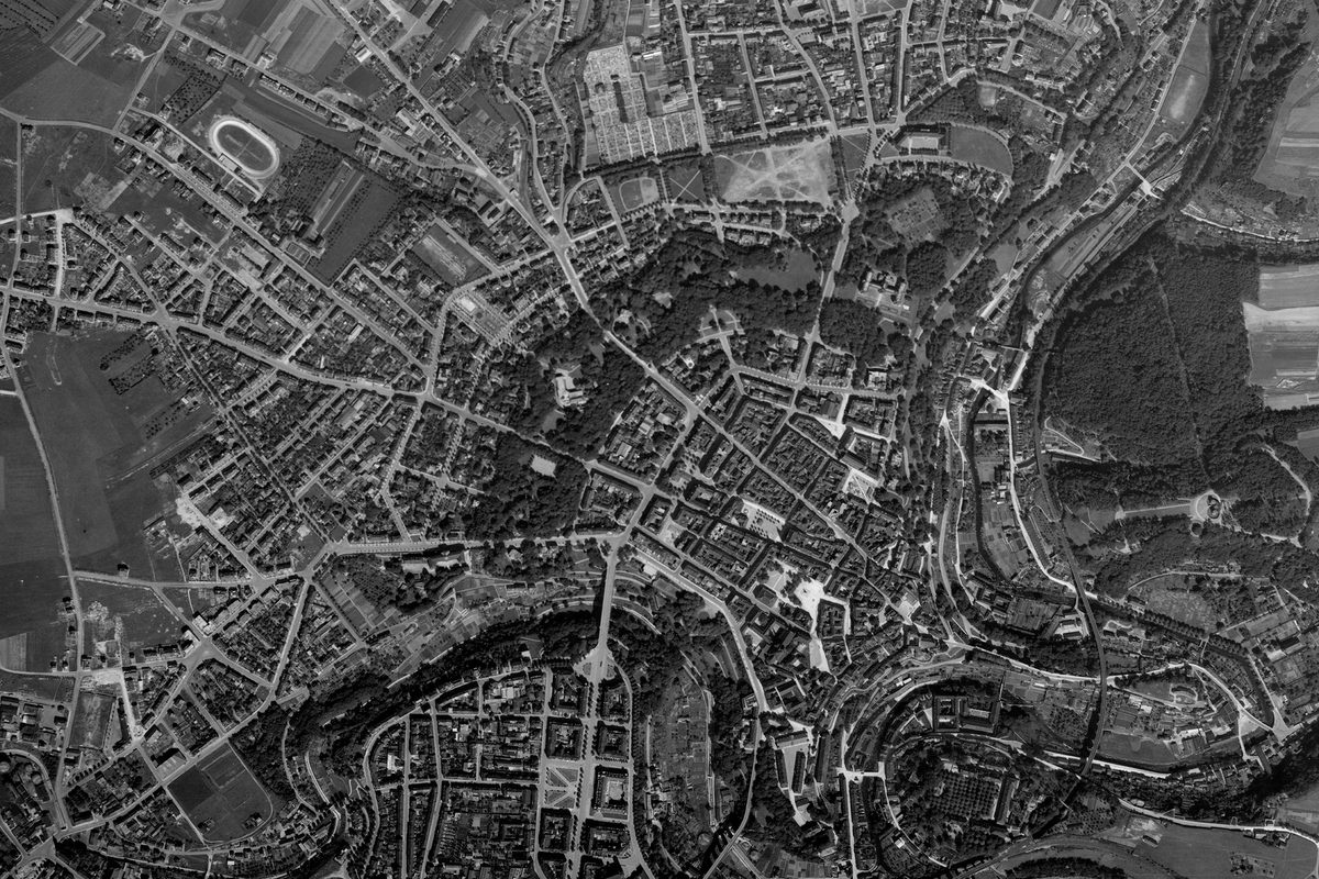
Image Release Note 0031: NARA Upload
This release highlights Second World War imagery from NARA, with considerable coverage of France, alongside Germany and the Low Countries.
Read more