

Image Quality Factors
The quality of a digitised aerial photograph depends on much more than scanning resolution. The format of the physical photograph, the context of its production and its current condition can all influence the final result.
Related reading
What Determines Image Quality?
Aerial photographs scanned at exactly the same resolution can display very different levels of detail.
The quality of the resulting digital image can be influenced by a range of factors, including:
- The quality of the original photography
- Whether the source material is film or print
- Atmospheric conditions at the time of capture
- Motion blur from the aircraft
- Camera focus and lens performance
- The condition of the original archive material
- Image processing methods
For this reason, image quality cannot be determined by scanning resolution alone.
For more information on image scale and flying height, visit our Scale & Flying Height page.
Original Film vs Photographic Prints
Whenever possible, NCAP scans directly from the original film negative or transparency.
However, in some collections, particularly historic military collections, original film may no longer survive or may be unsuitable for scanning. In these circumstances, the only surviving source material may be a photographic print.
Why does this matter?
A photographic print is a later-generation copy created from the aerial film. Each generation of copying introduces a small loss of detail.
As a result:
- Scans from original film generally provide the highest image quality.
- Scans from photographic prints may appear softer or less sharp.
- Enlarging or scanning a print at a higher resolution cannot recover detail that is no longer present.
NCAP will always digitise the best available resource.
Processing & Image Enhancement
All imagery supplied by NCAP is scanned using professionally calibrated equipment and established quality-control procedures.
Because NCAP processes large quantities of aerial imagery, images are balanced using automated workflows. This provides:
- Consistent presentation across collections
- Faster processing and delivery
- Reliable large-scale image production
Images are not normally manually balanced on an individual basis.
Similarly, enhancement techniques such as edge sharpening, local contrast enhancement and selective tonal correction are not routinely applied to imagery supplied through NCAP services.
While these techniques can improve visual appearance, they do not create additional image information.
In Summary
When assessing the quality of an aerial photograph, it is important to consider:
Source Material
Original film negatives generally provide higher-quality results than photographic prints.
Original Photography
Flying conditions, camera systems and image scale all influence the level of detail captured.
Digitisation
Scanning captures the information present within the source material, but cannot recreate detail that has been lost or was never recorded.
Image Quality = Source Material + Original Photography + Digitisation
If you are unsure whether a particular collection or image is suitable for your project, please contact the NCAP Sales Team at ncap@hes.scot.
IN THIS SECTION

Choosing the Right Resolution and Format
Understand how image resolution and file formats affect image delivery, file size and usability. This guide explains the options available and helps you choose the most suitable product for your project needs.

Scale and Flying Height
Discover how aircraft flying height and photograph scale influence the level of detail visible within an image. Understanding these relationships will help you assess what information can realistically be identified and interpreted.
Second World War Imagery
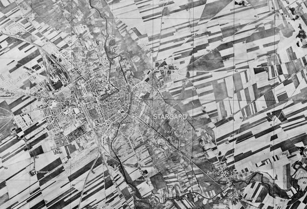
Second World War aerial photography remains one of NCAP's most heavily used collections. Explore its unique characteristics, limitations and strengths to better understand image quality and set realistic expectations for available detail.

Pre-Digitisation Preservation
Learn how NCAP prepares historic films and prints for digitisation, helping to protect original materials while producing the highest-quality digital images possible.

Understanding Collection Coverage
Learn why aerial photography coverage varies between locations, periods and collections, and how this can influence the imagery available for your project.