

Understanding Collection Coverage
The National Collection of Aerial Photography brings together imagery created by military organisations, government mapping agencies, commercial aerial survey companies and research institutions over more than a century of flight. As a result, the availability of photography can vary significantly between locations, time periods and collections.
Related reading
Some areas were photographed repeatedly over several decades, while others may have limited coverage. The imagery available often depends on why the photography was originally captured and whether it has been digitised.
Why Does Coverage Vary?
Historic aerial photography was created to meet specific requirements rather than to provide complete coverage of every location.
Collections may have been created for:
- Military reconnaissance and intelligence
- National and international mapping programmes
- Urban planning and development
- Agricultural and environmental surveys
- Infrastructure and engineering projects
- Commercial aerial survey work
The purpose of a survey often influenced its geographic coverage, scale, flying height and the level of detail recorded.
Different Collections, Different Original Uses
NCAP and partners hold photography from a wide range of collections, each with its own strengths and characteristics.
Military collections may focus on strategic locations and infrastructure, while civilian and commercial surveys often provide broader coverage for mapping, planning and land management purposes.
As a result, imagery can vary considerably in:
- Geographic coverage
- Scale and flying height
- Survey frequency
- Level of visible detail
Digitised and Not-Yet-digitised Photography
NCAP holds more than 30 million aerial photographs, but only a portion of the collection has currently been digitised and made available online.
Many images remain available only as physical archive holdings and can be accessed through our Scan on Demand service where suitable references are known.
This means that an image may exist within the wider archive even if it is not currently available online.
Finding Available Coverage
To explore available imagery and discover the geographic extent of digitised photography, visit our Map Search Portal.
To learn more about the individual collections held by NCAP, including their origins, geographic coverage and historical background, visit our Image Collection pages.
Image Collection Map Search Portal Scan on Demand
What to Expect
Not every location was photographed at the same frequency, scale or quality. Coverage varies according to the purpose for which the imagery was originally captured, the organisations involved and the survival of historic photographic records.
By understanding the origins and scope of different collections, you can build a clearer picture of what imagery may be available and identify the most appropriate photographs for your project.
IN THIS SECTION

Choosing the Right Resolution and Format
Understand how image resolution and file formats affect image delivery, file size and usability. This guide explains the options available and helps you choose the most suitable product for your project needs.

Image Quality Factors
Explore the factors that influence image quality, from the condition of the original photograph to scanning methods and image processing. Learn why some images contain more visible detail than others.

Scale and Flying Height
Discover how aircraft flying height and photograph scale influence the level of detail visible within an image. Understanding these relationships will help you assess what information can realistically be identified and interpreted.
Second World War Imagery
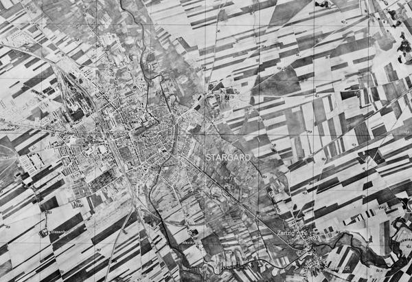
Second World War aerial photography remains one of NCAP's most heavily used collections. Explore its unique characteristics, limitations and strengths to better understand image quality and set realistic expectations for available detail.

Pre-Digitisation Preservation
Learn how NCAP prepares historic films and prints for digitisation, helping to protect original materials while producing the highest-quality digital images possible.