

Scale and Flying Height
The scale of an aerial photograph has a greater impact on visible image detail than the resolution at which it is scanned.
Why Does Scale Matter?
One of the most common questions we receive is why some aerial photographs appear sharper or contain more visible detail than others.
While scanning resolution plays an important role, the amount of detail visible in an image is determined by the scale at which the photograph was originally captured.
What is Scale?
Image scale describes the relationship between distances measured on an aerial photograph and distances measured on the ground.
For example: 1:10,000 Scale
- 1cm measured on the photograph represents 10,000 cm (100 metres) on the ground.
Generally speaking:
- Larger scales show more detail.
- Smaller scales show a larger area but less detail.
| Typical Scale Guide | |
|---|---|
| 1:5,000 | Very high detail |
| 1:10,000 | High detail |
| 1:14,000 | Good general detail |
| 1:25,000 | Landscape-scale interpretation |
| 1:50,000+ | Broad regional coverage |
How Flying Height Affects Detail
Image scale is determined by:
- The altitude at which the aircraft was flying.
- The focal length of the camera lens.
Why Scale Often Matters More Than Resolution
Increasing scan resolution can only capture the information that already exists within the original photograph.
The quality and scale of the original photography are often more important than increasing scan resolution alone.
In Summary
When assessing aerial photography, it is important to remember that:
- Larger-scale images generally contain more visible detail.
- Smaller-scale images cover a larger area but show less detail.
- Flying height and camera focal length directly influence image scale.
- Higher scan resolutions cannot create detail that was not captured in the original photograph.
For this reason, image scale is typically the single most important factor in determining how much detail can be seen in an aerial photograph.
IN THIS SECTION

Choosing the Right Resolution and Format
Understand how image resolution and file formats affect image delivery, file size and usability. This guide explains the options available and helps you choose the most suitable product for your project needs.

Image Quality Factors
Explore the factors that influence image quality, from the condition of the original photograph to scanning methods and image processing. Learn why some images contain more visible detail than others.
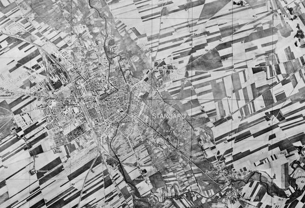
Second World War Imagery
Second World War aerial photography remains one of NCAP's most heavily used collections. Explore its unique characteristics, limitations and strengths to better understand image quality and set realistic expectations for available detail.

Pre-Digitisation Preservation
Learn how NCAP prepares historic films and prints for digitisation, helping to protect original materials while producing the highest-quality digital images possible.

Understanding Collection Coverage
Learn why aerial photography coverage varies between locations, periods and collections, and how this can influence the imagery available for your project.