News & Articles
Find out about the latest news from NCAP and discover in-depth stories about NCAP collections, activities and projects.

Image Release Note 0022: NARA Upload
This release highlights Second World War aerial imagery from NARA, with a strong focus on France and Germany, and a small amount of international coverage.
Read more
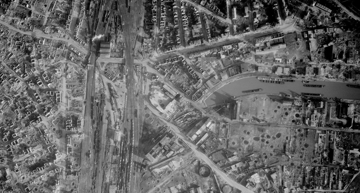
Image Release Note 0021: NARA Upload
This release highlights Second World War aerial imagery from NARA, with a strong focus on France and Germany, and a small amount of international coverage.
Read more
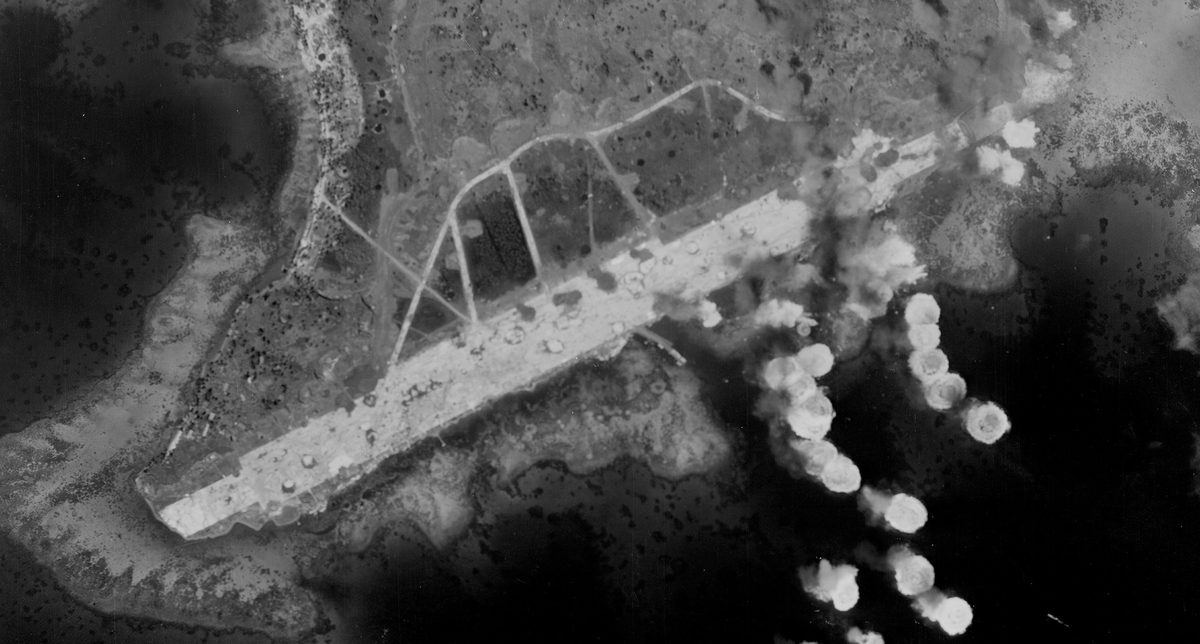
Image Release Note 0020: NARA Upload
This release highlights Second World War aerial imagery from NARA, with a strong focus on Iceland as well as mainland Europe, and a small amount of international coverage.
Read more
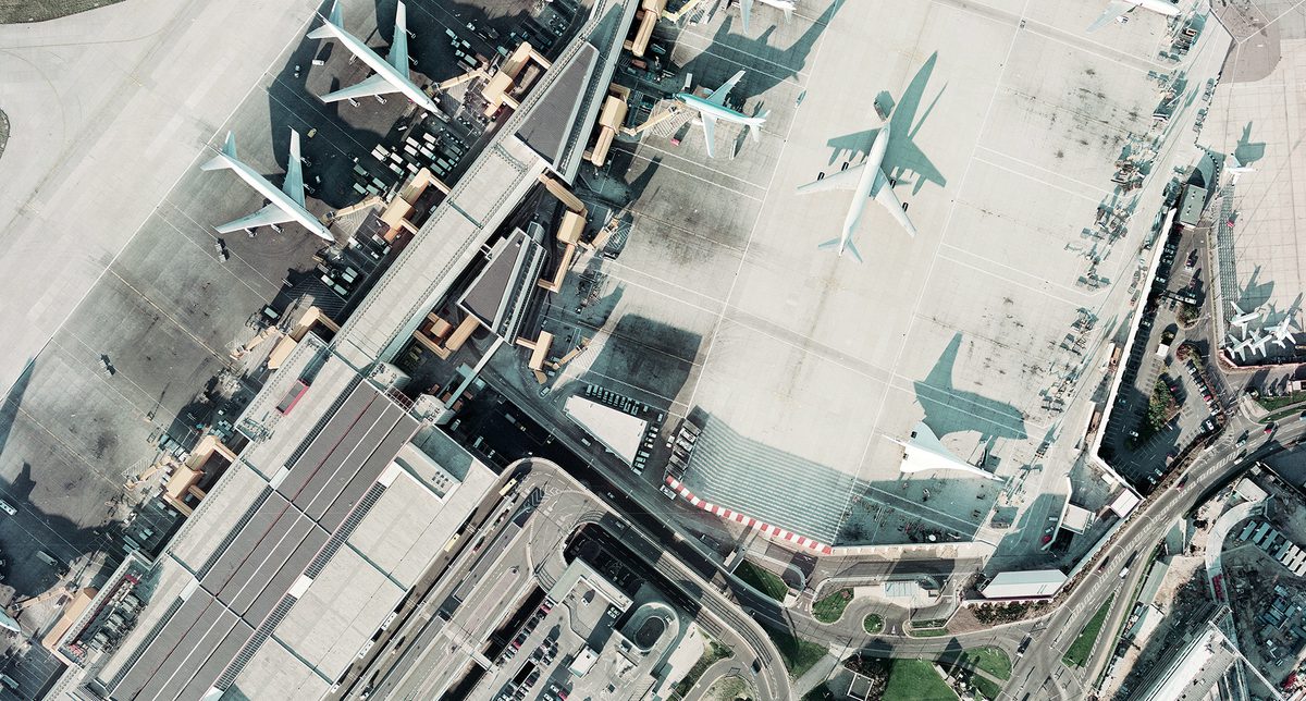
Image Release Note 0019: NCAP Upload
This release features late 20th-century aerial imagery from private survey firms, offering extensive colour coverage across the UK and Ireland, with a strong focus on environmental monitoring and infrastructure planning.
Read more
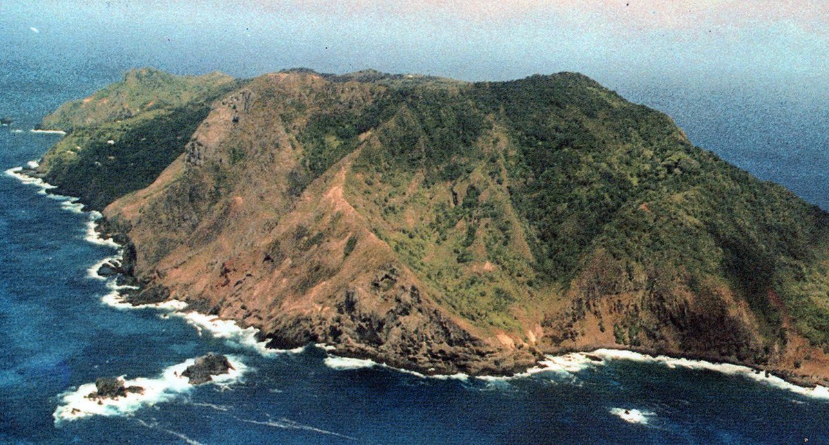
Spotlight On: Pitcairn Islands
Located deep in the Pacific Ocean, approximately midway between New Zealand and Peru, the Pitcairn Islands have possibly one of the most unusual histories of any British Overseas Territory. It...
Read more
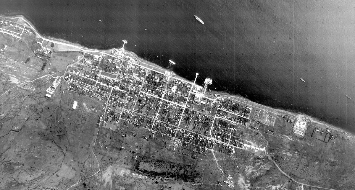
Image Release Note 0018: NCAP Upload
This release features Cold War-era aerial imagery from UK government sources, with a strong focus on Europe, alongside areas of British interest around the globe, enriching coverage on our online...
Read more
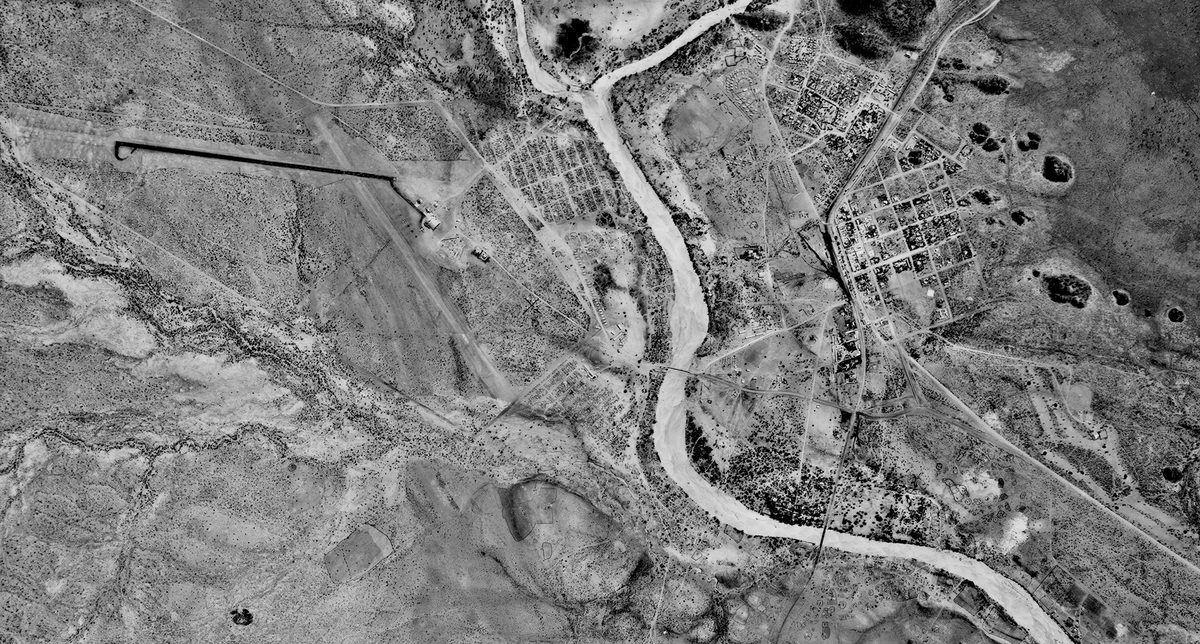
Image Release Note 0017: NCAP Upload
This release presents a comprehensive aerial photography collection from the Directorate of Overseas Surveys, enriching existing coverage of Botswana with imagery from the 1940s to the 1970s.
Read more
Image Release Note 0016: NCAP Upload
This release presents a comprehensive aerial photography collection from the Directorate of Overseas Surveys, offering near-complete coverage of Botswana from the 1950s to the 1980s, and providing a rare longitudinal...
Read more